The unmanned aerial vehicle (UAV) operators require meticulous preparation in terms of equipment and operation, it may even require the operators to acclimatize and increase liquid intake during the time spent in the mountains, and it is easy to become disorientated if their health condition is not monitored.
From an equipment perspective, the most common challenges lie in unspecified or incorrect terrain maps which may cause the drone to crash; limited altitude configurations may lead to poor quality data or even the loss of the drone; magnetometer sensor malfunction in zones of magnetic anomalies and may lead to the loss of the drone control or even loss of the aircraft in itself.
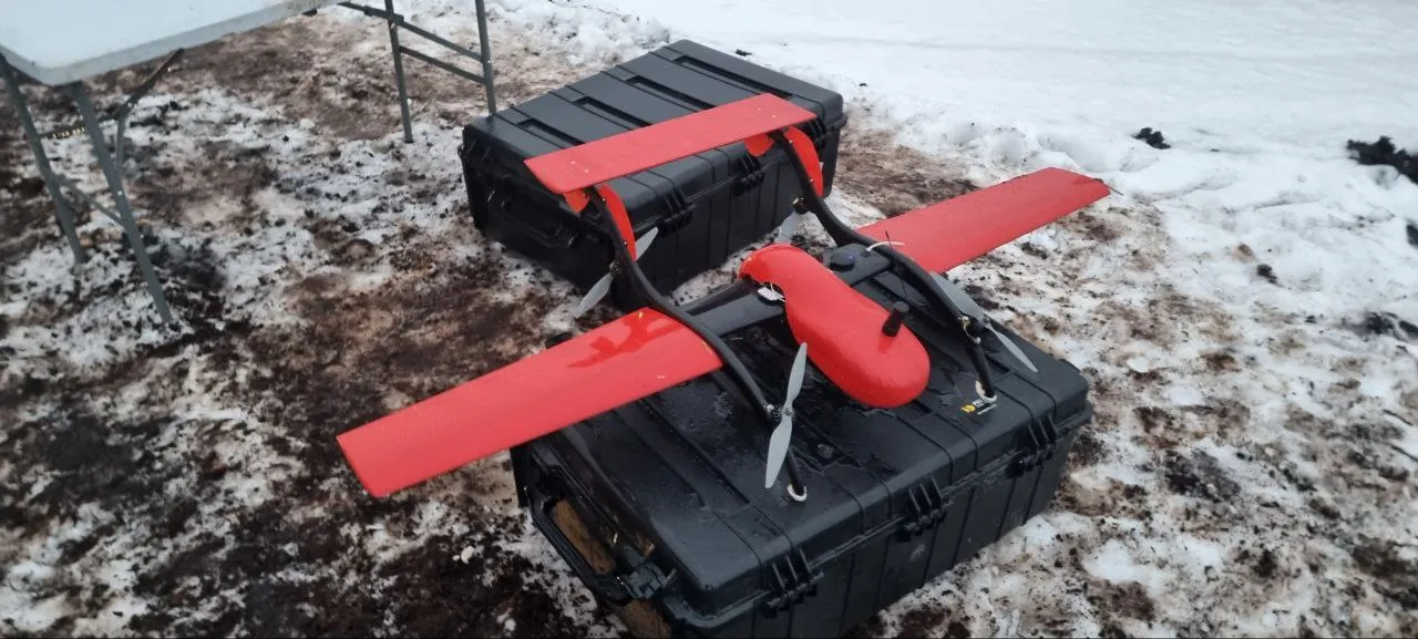
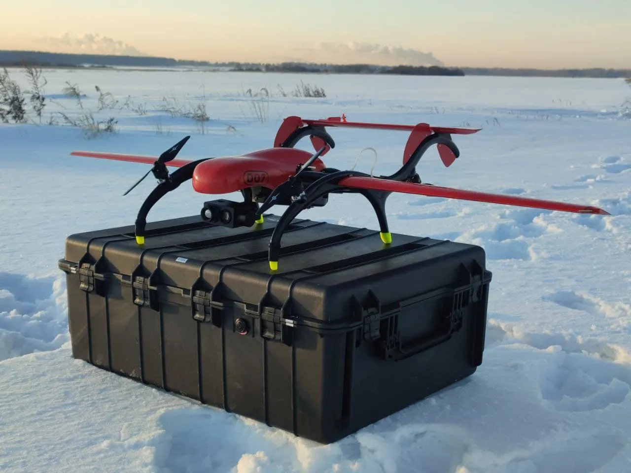
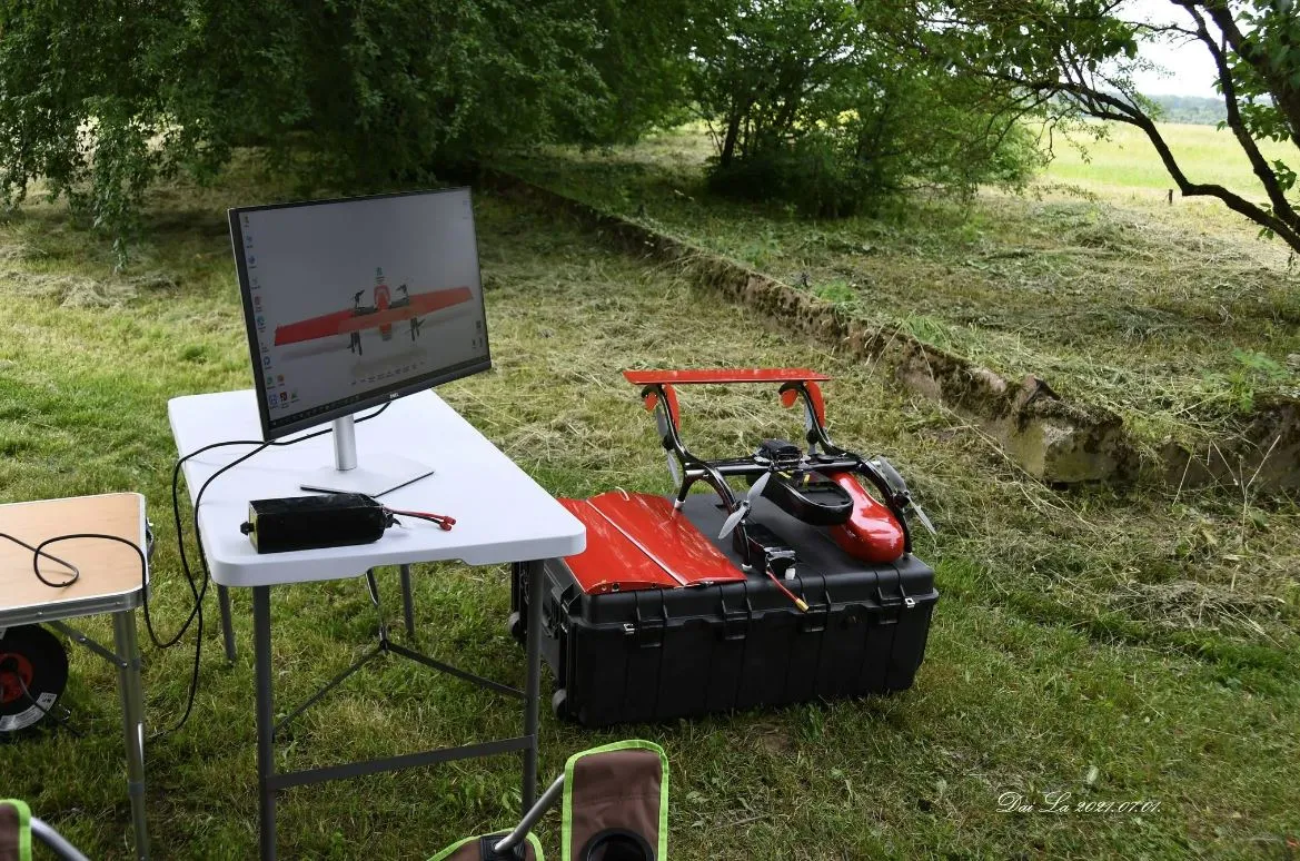
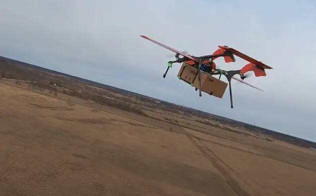
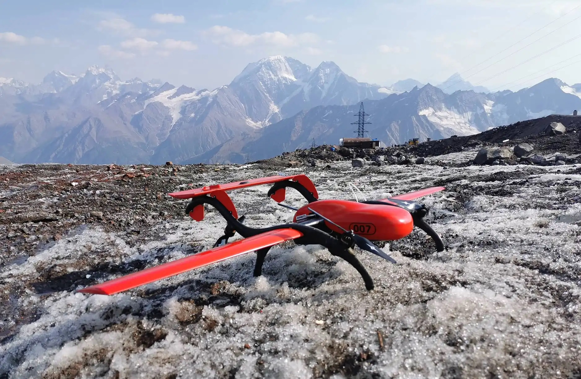
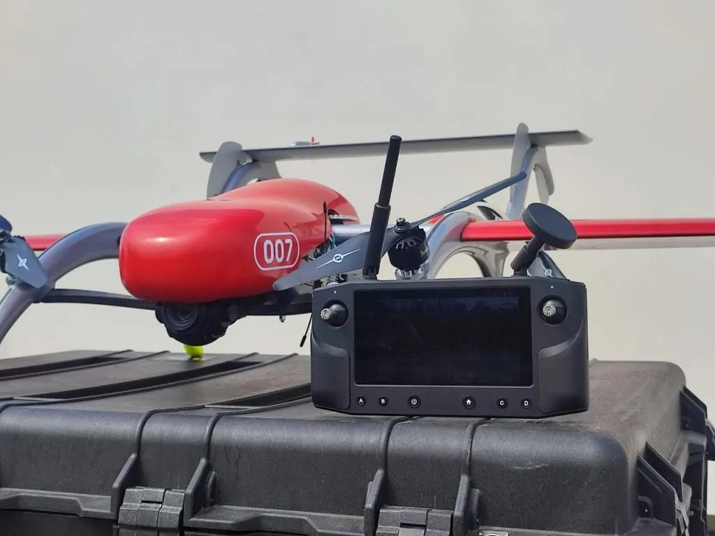
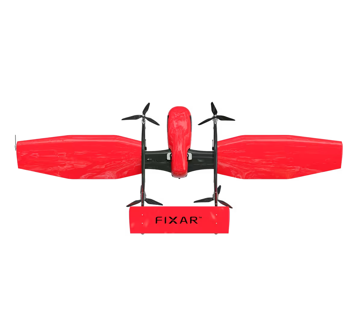
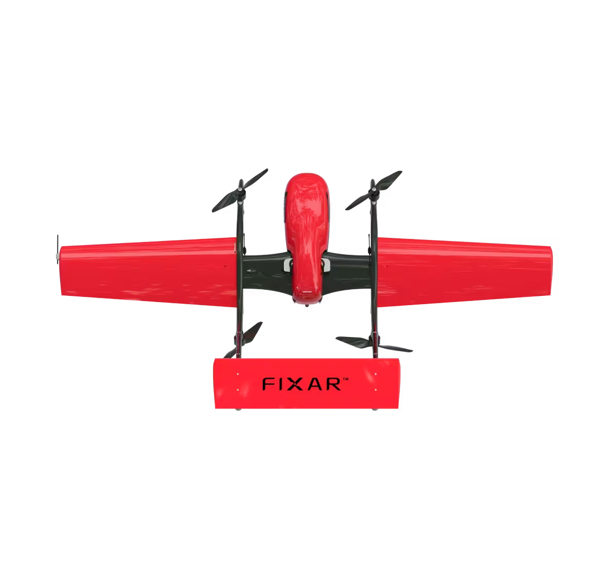
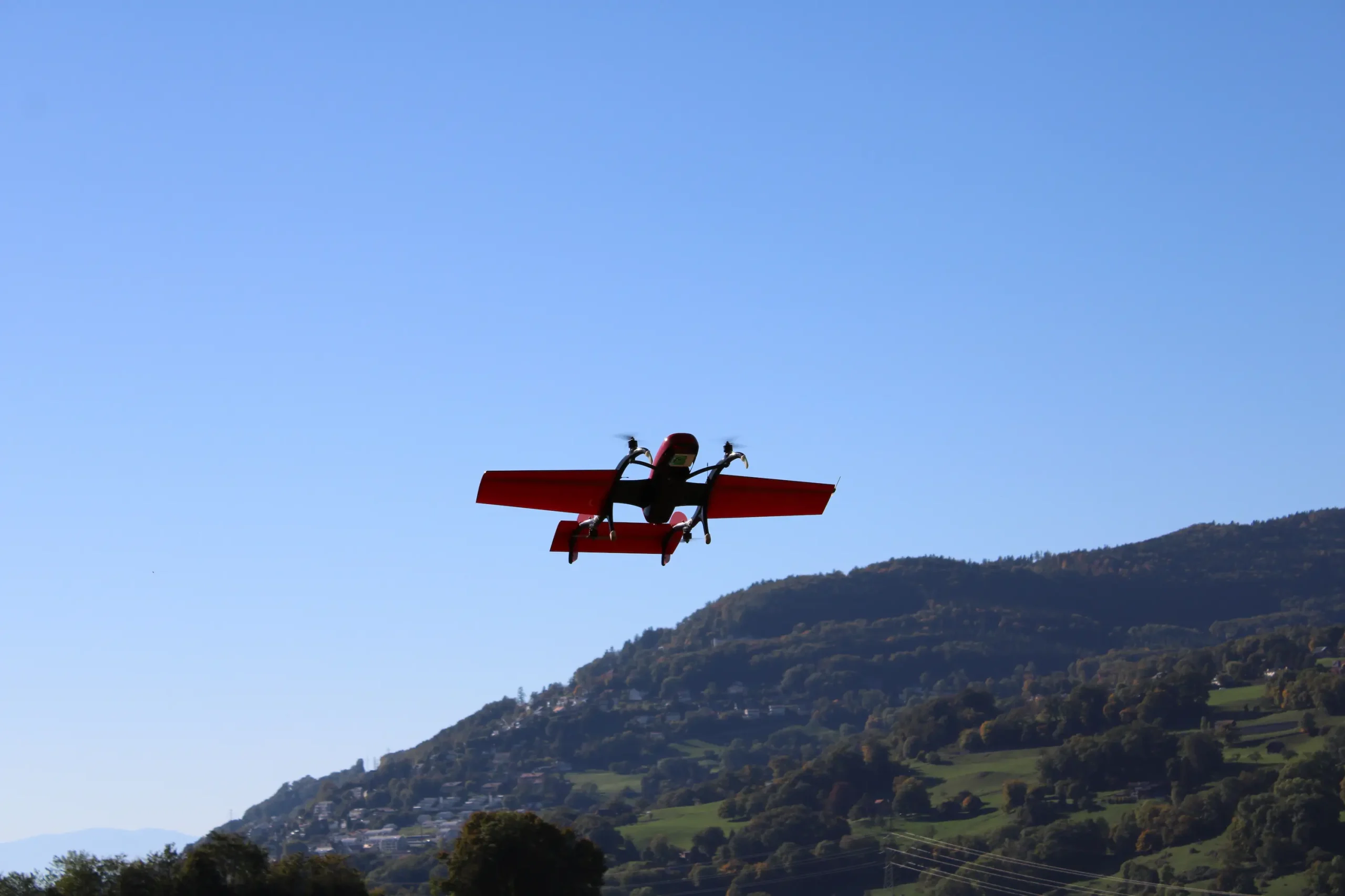
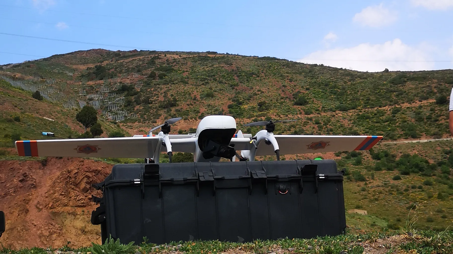
The FIXAR 007 NG unmanned aerial solution has already proven its operational capabilities in high-altitude mountain flights, carrying out an aerial photography mission and reaching an altitude of 4 000 m (13 123 ft). The UAV’s robust design and proprietary Autopilot in combination with mission planning software xGroundControl allows it to use the UAV for missions at challenging locations and weather, therefore FIXAR 007 NG was chosen for the task requiring operation altitude range 5 000 m (16 404 ft) up to 6 000 m (19 685 ft) above sea level.
Mission description
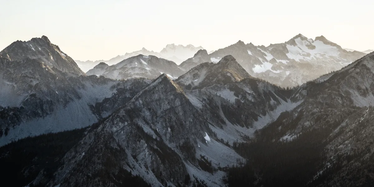
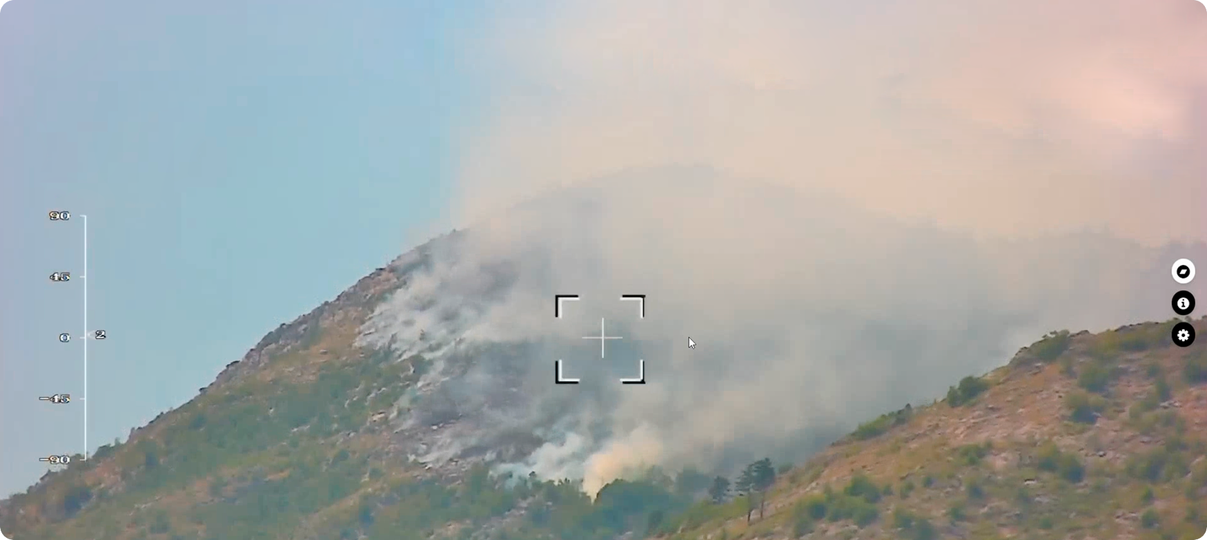
The one-day mission was conducted in September 2022. The weather conditions were constantly changing and varied thought the day, with temperatures ranging from -20 to 5°C. The entire mission stages were carried out in a rarefied atmosphere. The FIXAR 007 NG configured with the gimbal video camera was used for this mission.
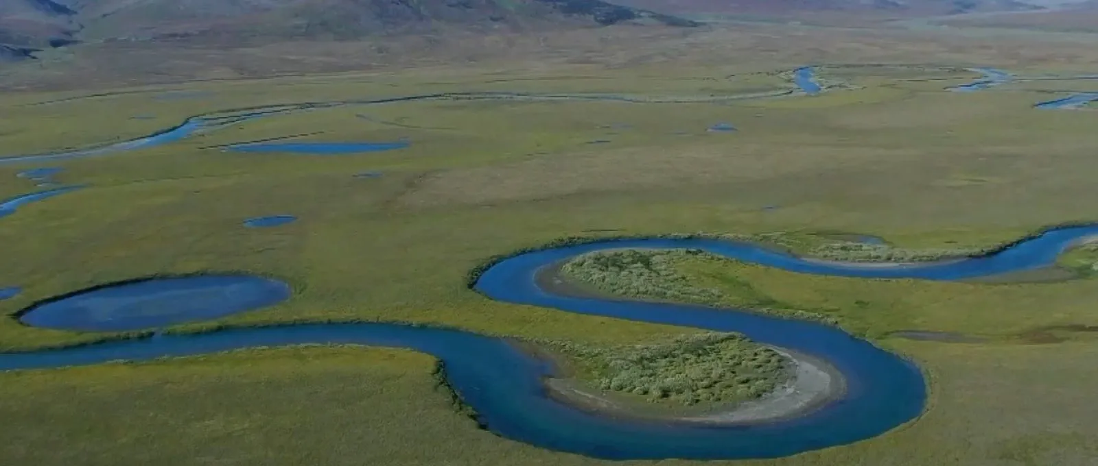
In mountains take-off and landing areas are limited, therefore vertical take-off and landing (VTOL) is the most suitable drone design configuration to be used in these areas. The mission launch and drone take-off took place at an altitude of 5 300 m (17 388 ft) and continued the flight route through the valley.
The goal of the mission was to execute a stable flight at a challenging high altitude with adverse weather conditions, and simultaneously gain confirmation for quality telemetry data collection under these conditions.
{{AUTONOMOUS-1="/custom-photos-elem"}}
{{AUTONOMOUS-2="/custom-photos-elem"}}
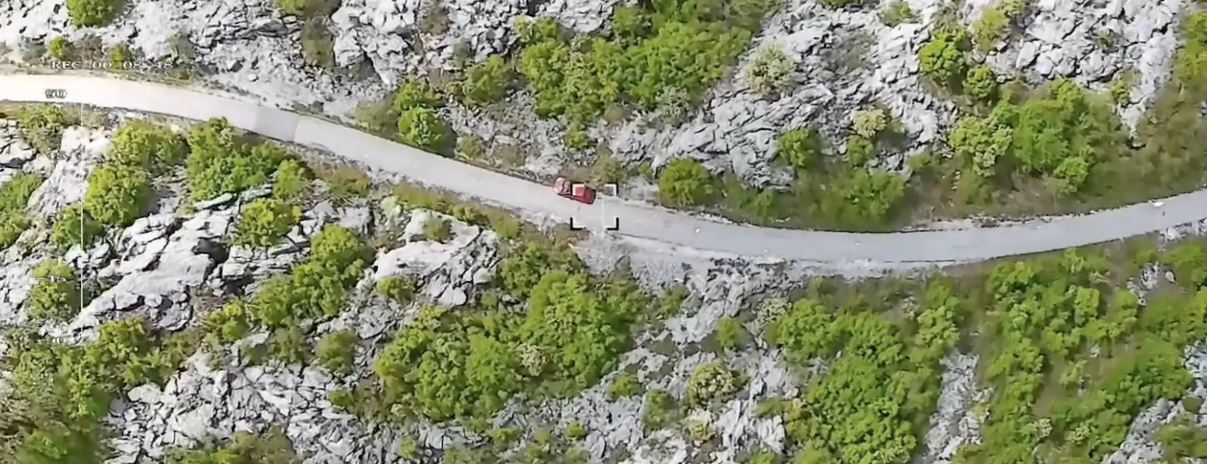
The 19.8 km (12.5 mi) mission was performed with an ascent to an altitude of 6 115 m (20 062 ft) above sea level and a further descent and landing below the point of the initial take-off location. At a low altitude above ground level, the terrain envelope was 100-150 m (328-492 ft). During the flight, the traveling speed was maintained stable at speed of 72 km/h (45 mph).
{{AUTONOMOUS-3="/custom-photos-elem"}}
Conclusion
The FIXAR 007 NG showed solid and stable performance at the high-altitude missions. FIXAR 007 NG currently is the only commercial fixed-wing drone, which has flown a BVLOS mission autonomously with terrain envelope at the altitude 5 300 (17 388 ft) – 6 115 m (20 062 ft) ASL in the mountains without special equipment.
Flight mission overview
{{AUTONOMOUS="/custom-tables-elem"}}
.avif)
.avif)
