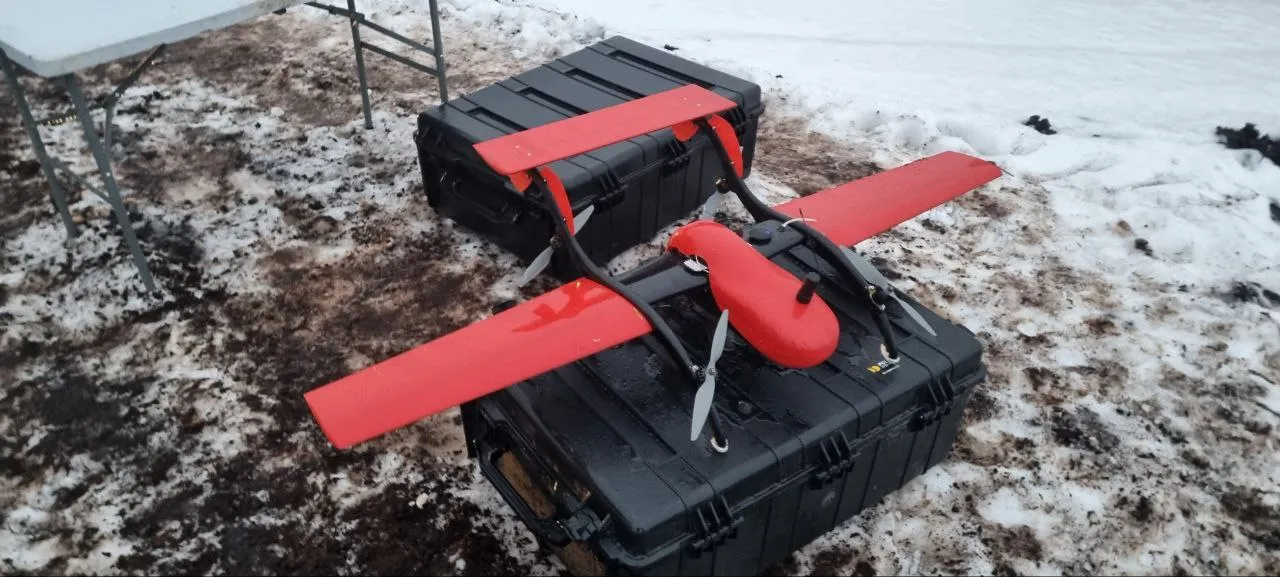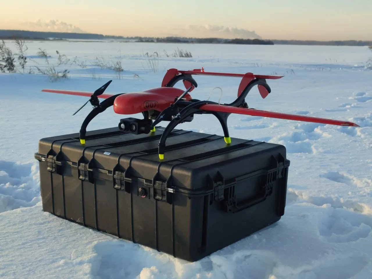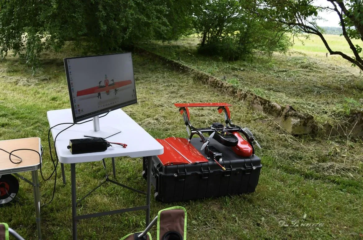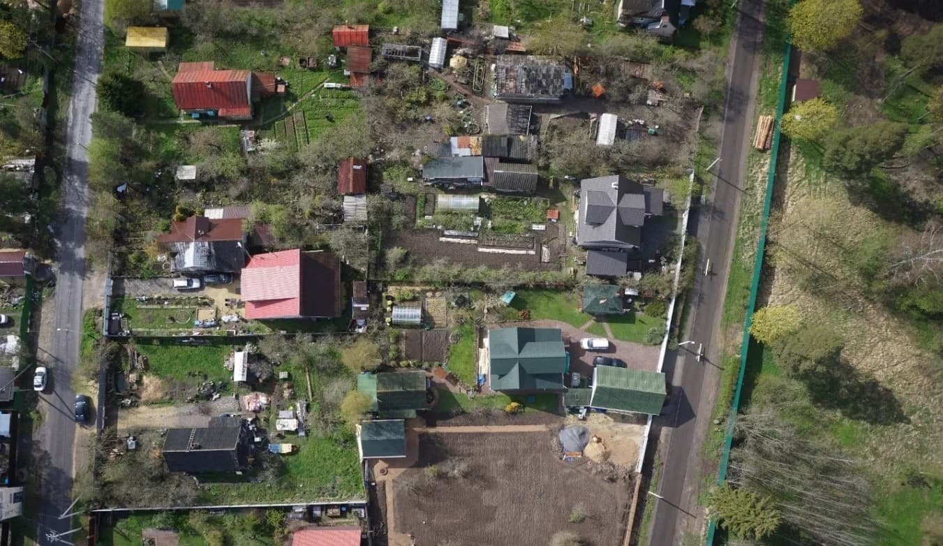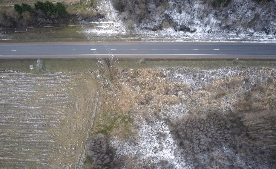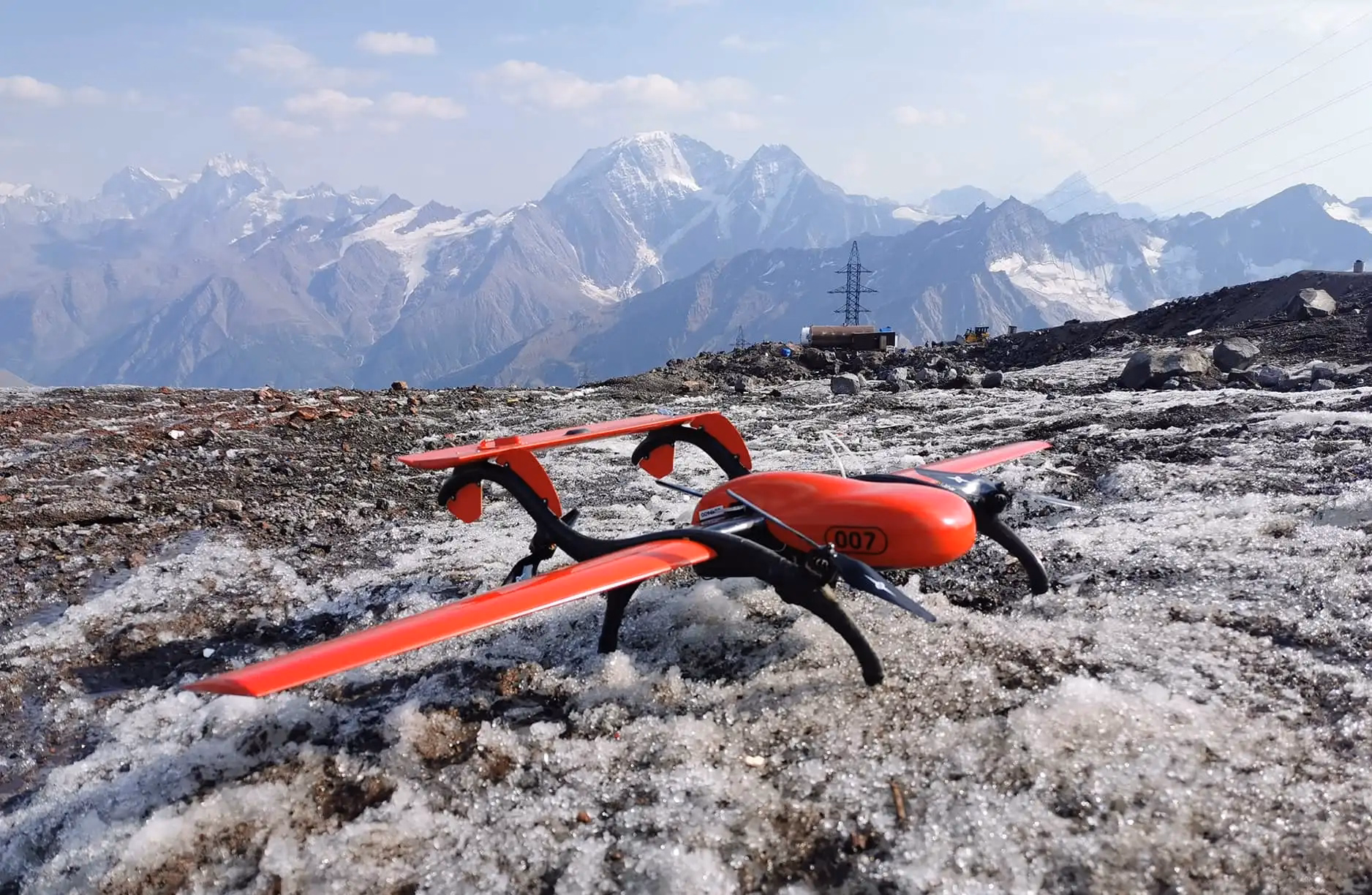
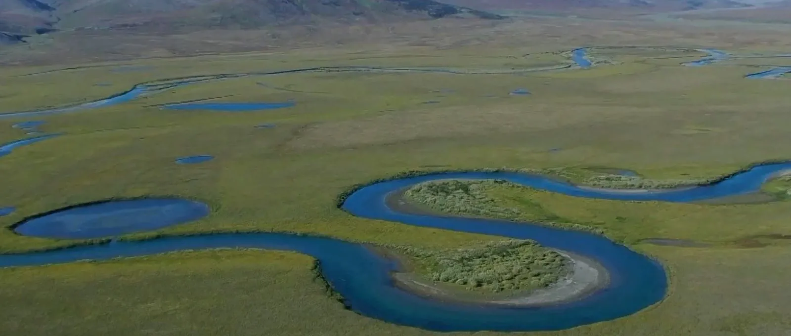
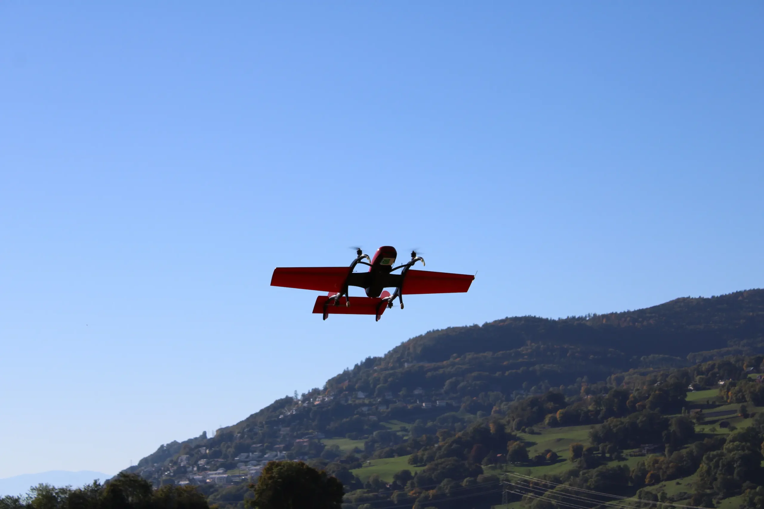
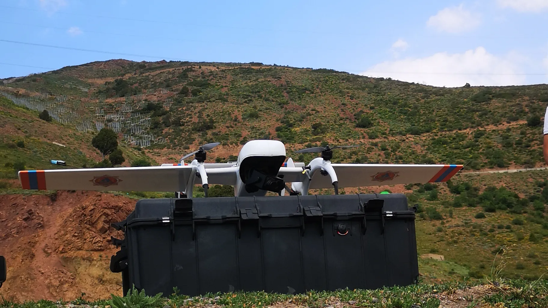
In August 2021 FIXAR customer carried out a real-time video monitoring survey. To execute the task, the researchers used a FIXAR 007 NG UAV equipped with a Tarot Peeper camera on a three-axis gimbal with Full HD quality.
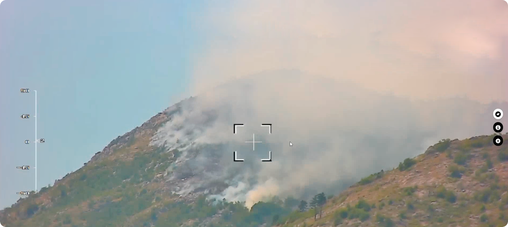
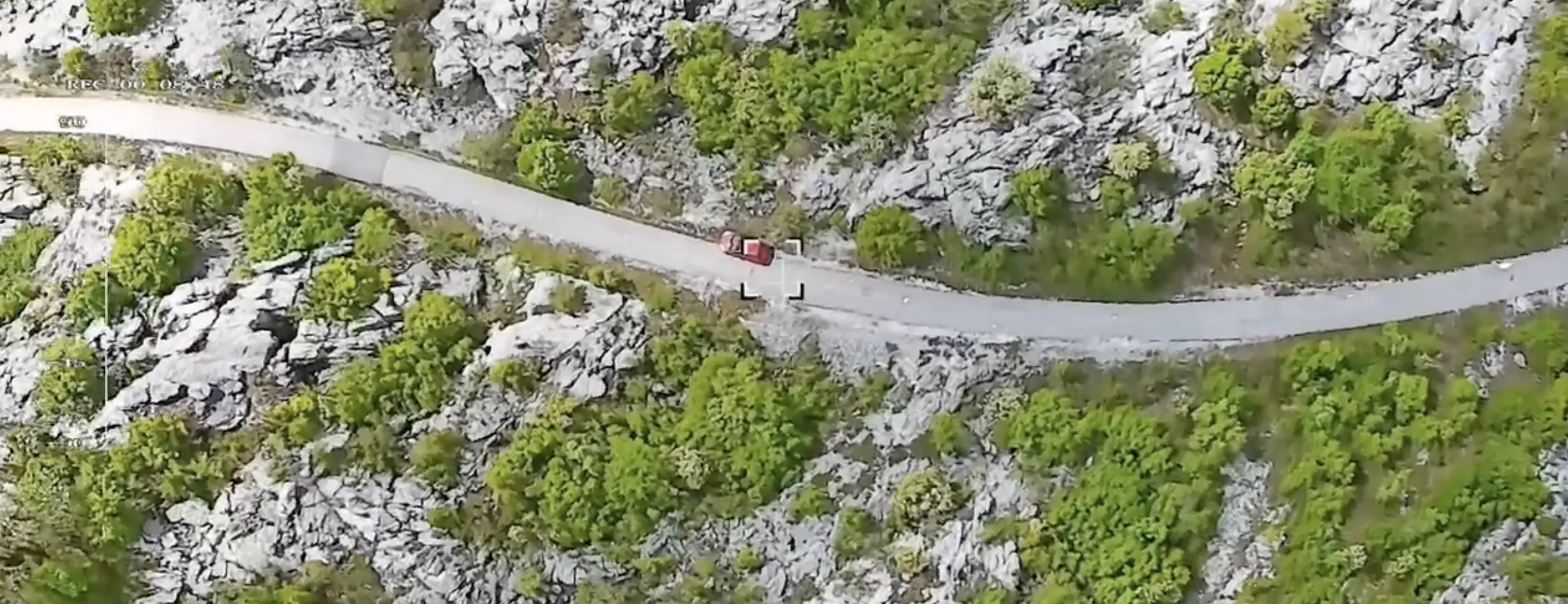
To control the camera, the customer used a video downlink system to change the direction of view and broadcast the image in real-time at a distance of up to 20 km. The maximum route was 30 km. The option to change the shooting angle helped researchers collect high-quality video materials even when moving against the sun.
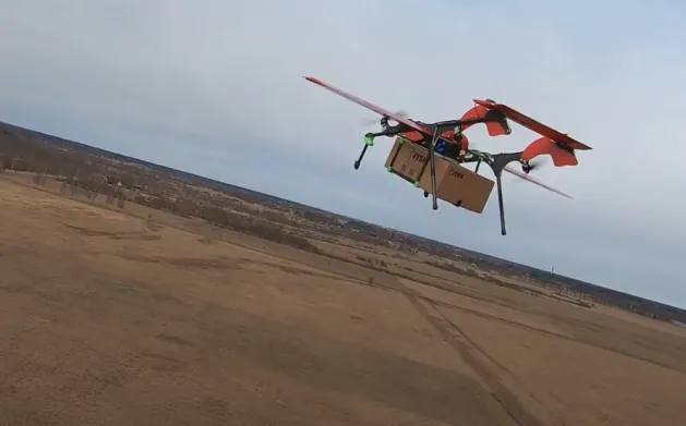
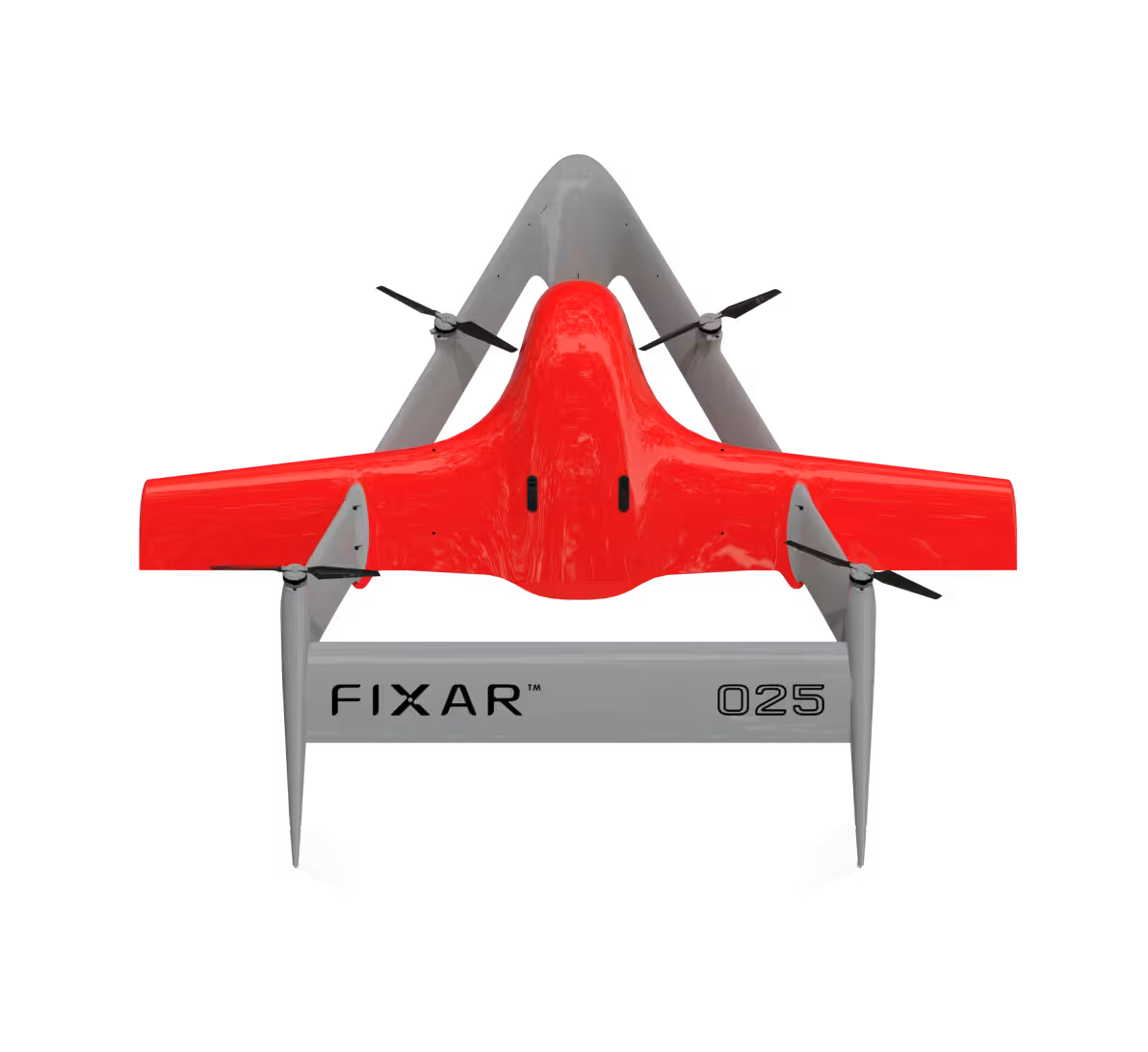
FIXAR 007 NG for video monitoring has a comprehensive approach to the tasks facing the customer:
- The onboard equipment can record Full HD video with 10× zoom
- An additional video downlink broadcasts the footage in real time and allows the customer to control the camera
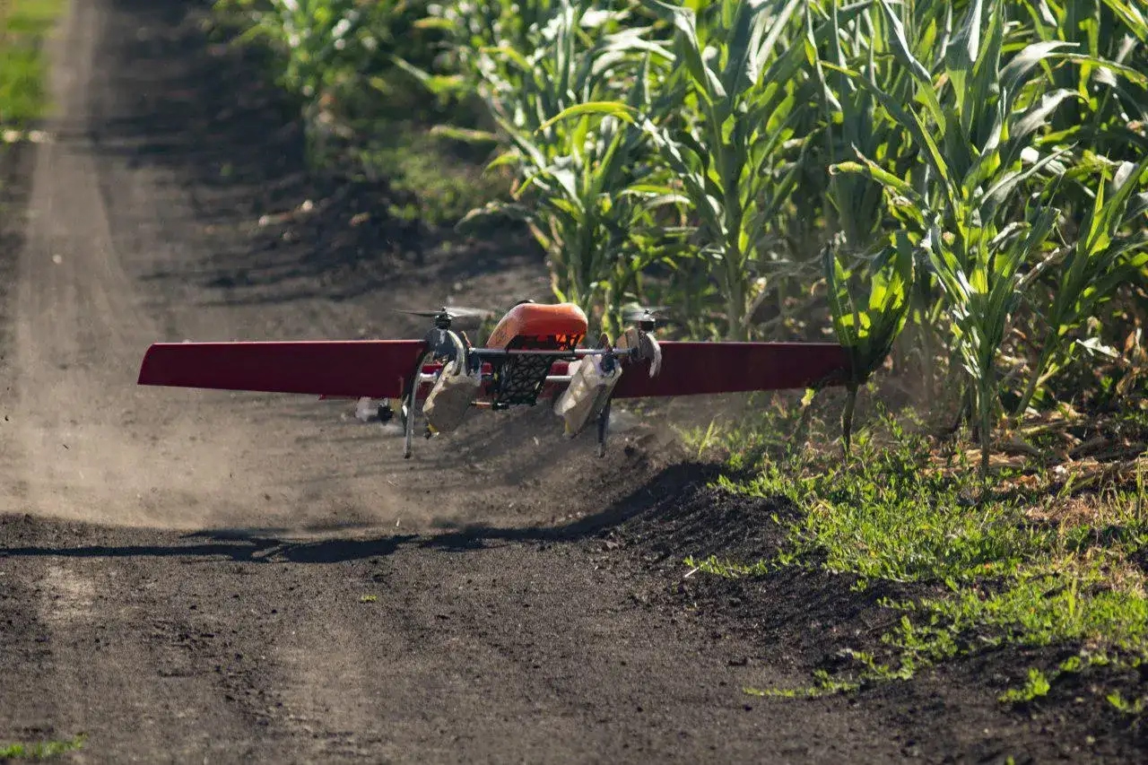
- The FIXAR 007 NG aerodynamic design enables vertical takeoff and landing with high positional accuracy within its own footprint
- Aircraft control is simple and intuitive
- Flight preparation takes less than 5 minutes
- FIXAR xGroundControl Software supports flights at various altitudes and along any trajectory, allowing the customer to conduct video monitoring of the required area
- High wind resistance (up to 18 m/s)
- IP54 dust and moisture protection
{{MONITORING="/custom-photos-elem"}}
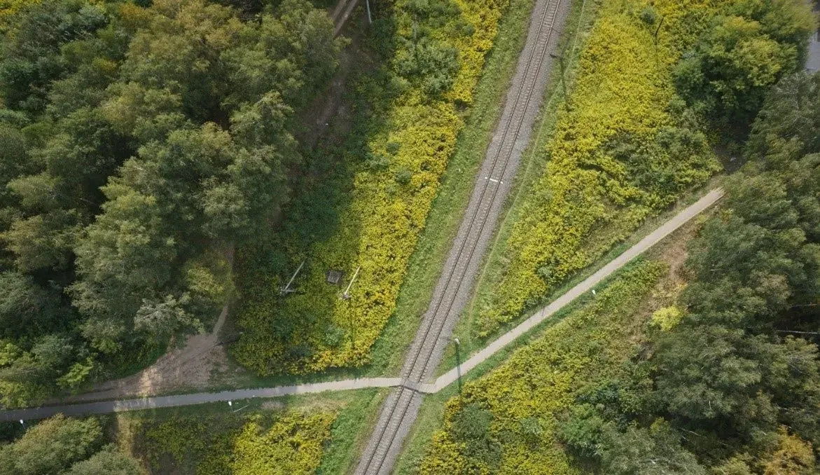
Flight mission overview
{{bio="/custom-tables-elem"}}
.avif)

.avif)