.svg)
.svg)
.svg)
FIXAR resources
.avif)

.avif)


.avif)


Data sets
_converted.avif)
_converted.avif)
Video library

FAQ
What is FIXAR BlackBox?
The FIXAR BlackBox is an independent device that allows the system to record complete and detailed information of onboard flight activities and parameters.
It is an advanced logging system capable of recording and storing information of settings, missions, sensor’s data, user commands, automatic control and payload information and allows the geotagging to be available to operators at any time, even if the UAV is powered off.
How easy is it to operate the FIXAR 007?
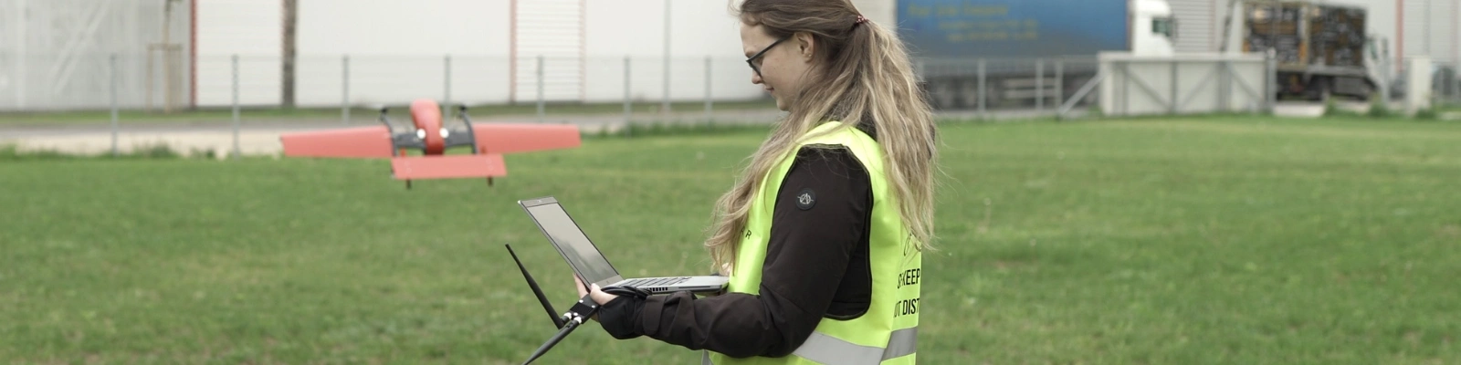
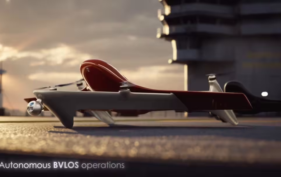
FIXAR 007 was designed to be easy to use and intuitive. It is a completely autonomous UAV that guarantees safe and reliable operations with minimal human intervention. The FIXAR package includes FIXAR xGroundControl Software that allows UAV operators to communicate with and control an aircraft and its payloads.
To start the mission, the operator needs to:
- Create a flight mission using xGCS
- Upload the mission to the aircraft
- Run a pre-flight check routine
- And press the “Start” button
How long does the pre-flight preparation take?
It takes approximately 2 minutes to assemble the aircraft out of the case. The pre-flight preparation prior to takeoff that is performed in FIXAR xGroundControl Software takes another 2 minutes time.
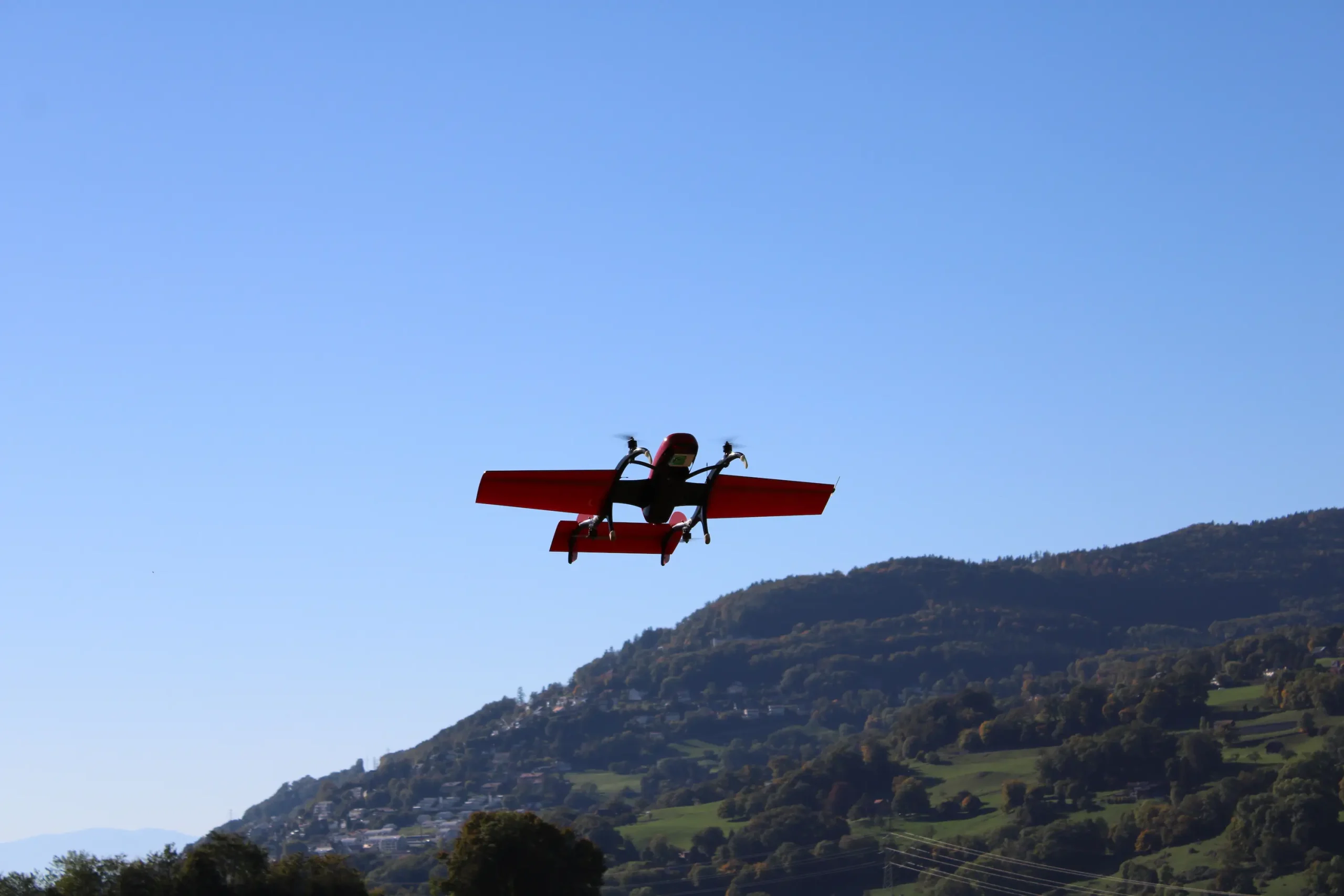
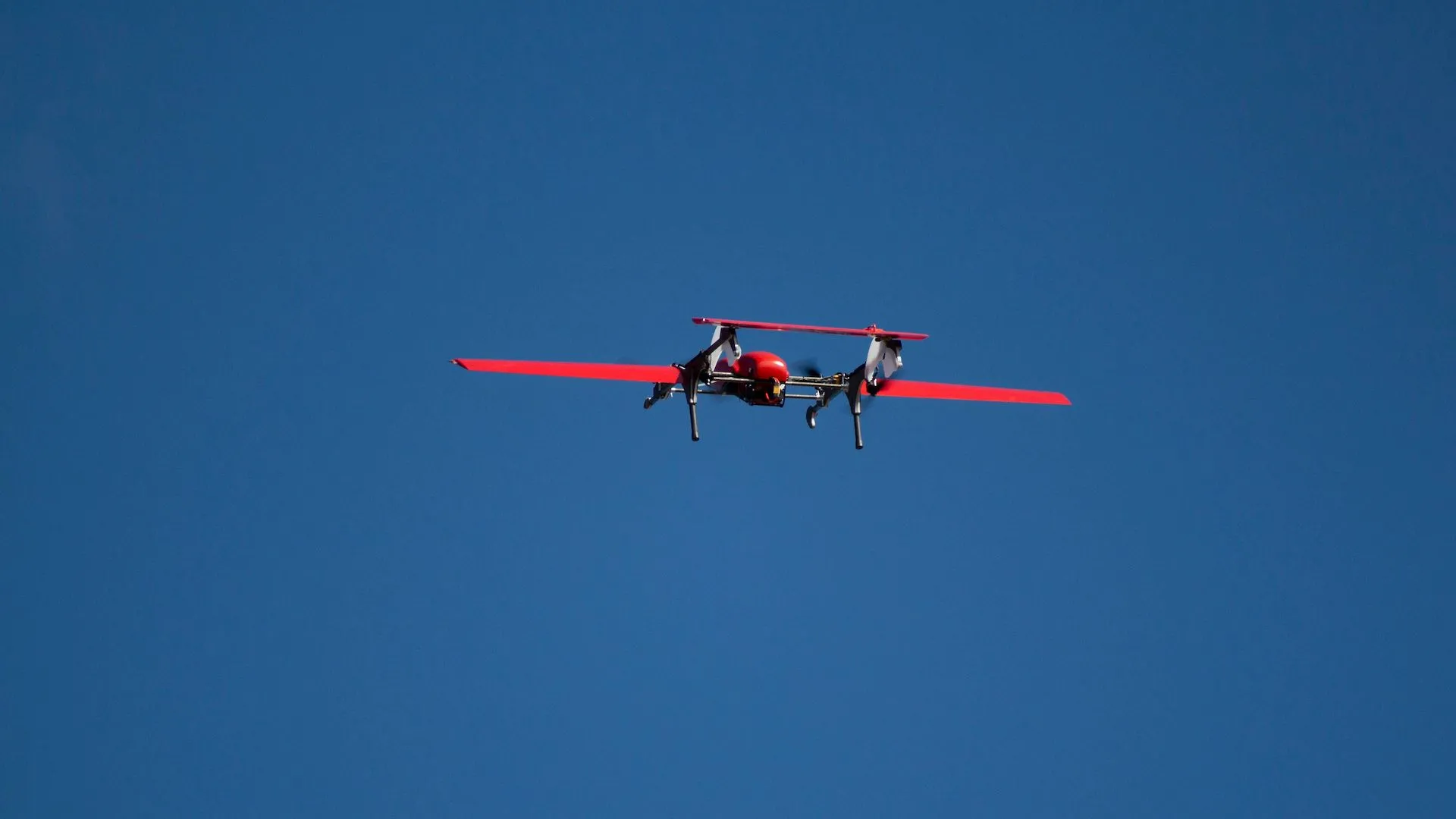
What are the main flight performance characteristics of FIXAR 007?
The maximum flight distance of FIXAR 007 is up to 60 km (37.3 mi)
The maximum flight duration of FIXAR 007 is up to 59 minutes
The cruising speed (flight in airplane mode) is 18–20 m/s (40–45 mph)
While changing from copter to airplane mode and back, the speed may vary between 0 and 27 m/s (60.3 mph).
What is the maximum flight altitude for FIXAR 007 Series?
The maximum possible flight altitude is 6,000 m (19,685 ft) above sea level. However, it is not recommended to operate at an altitude over 1,000 m (3,280 ft), as the impact of weather conditions becomes critical and almost unpredictable. For operational and flight altitude questions please remember to check with your local regulations for UAV flight operations.
What is the lowest safe altitude which must be maintained across a flight?
The minimum altitude in any type of operation is 50 meters above ground level for safety purposes and to avoid collision with obstacles.
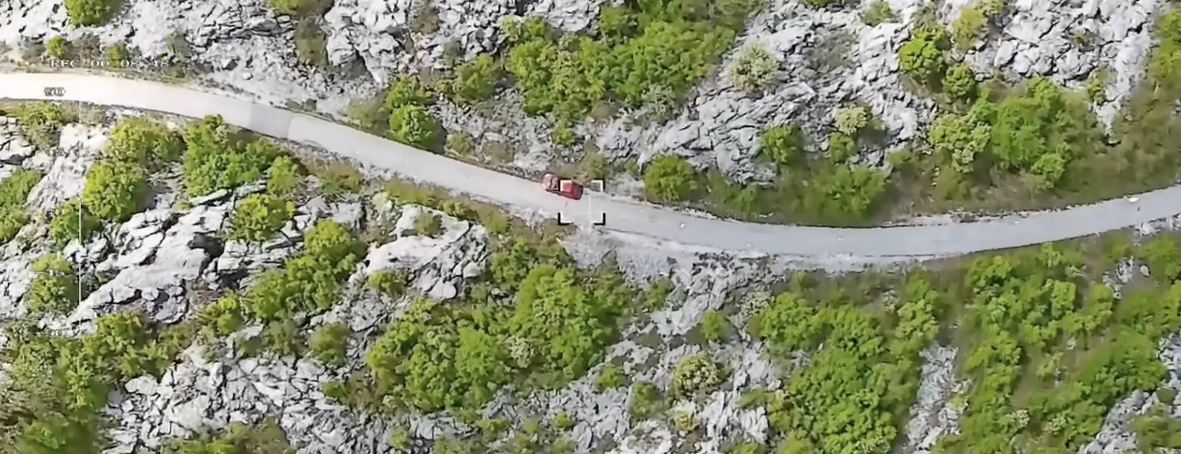
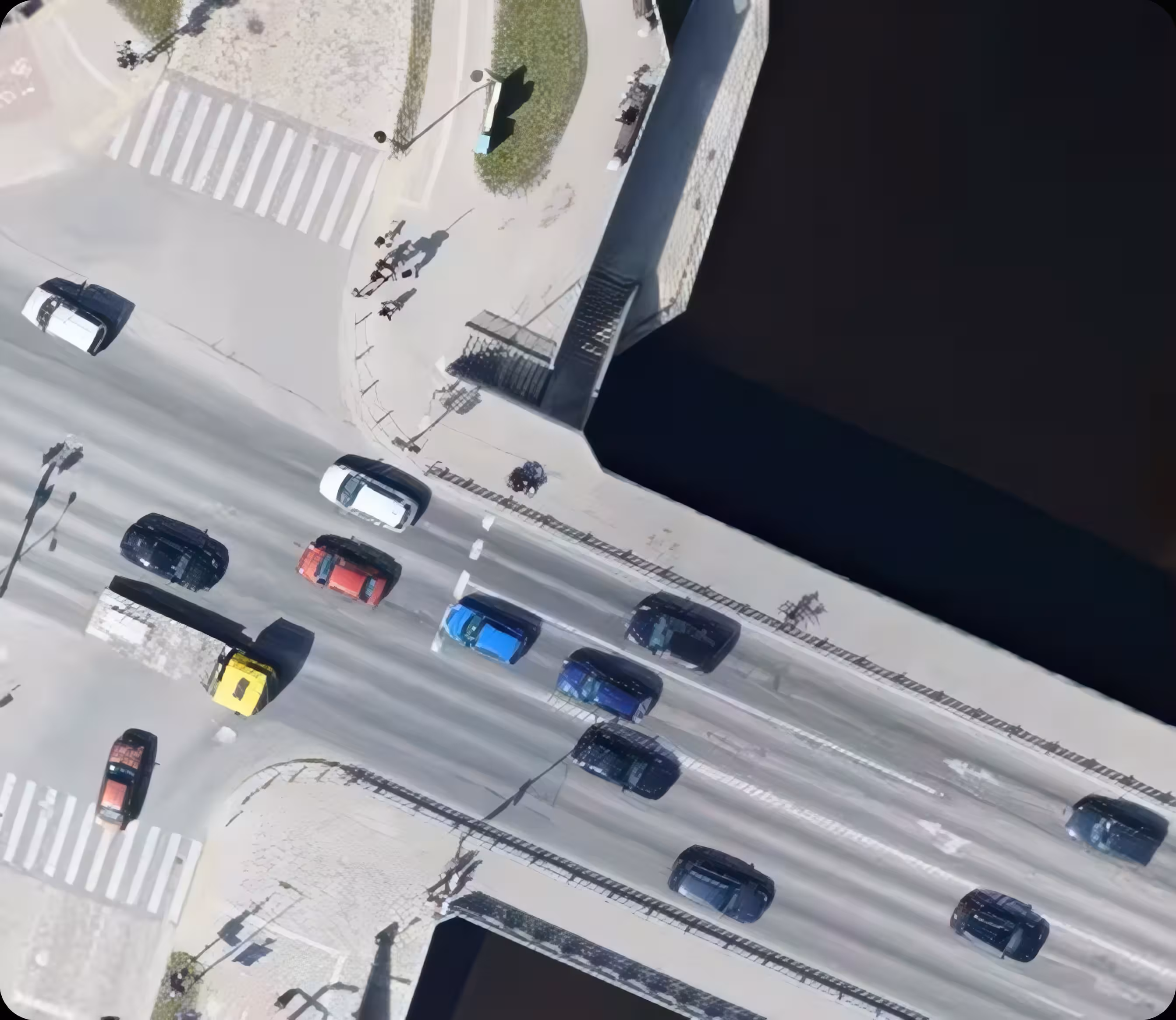
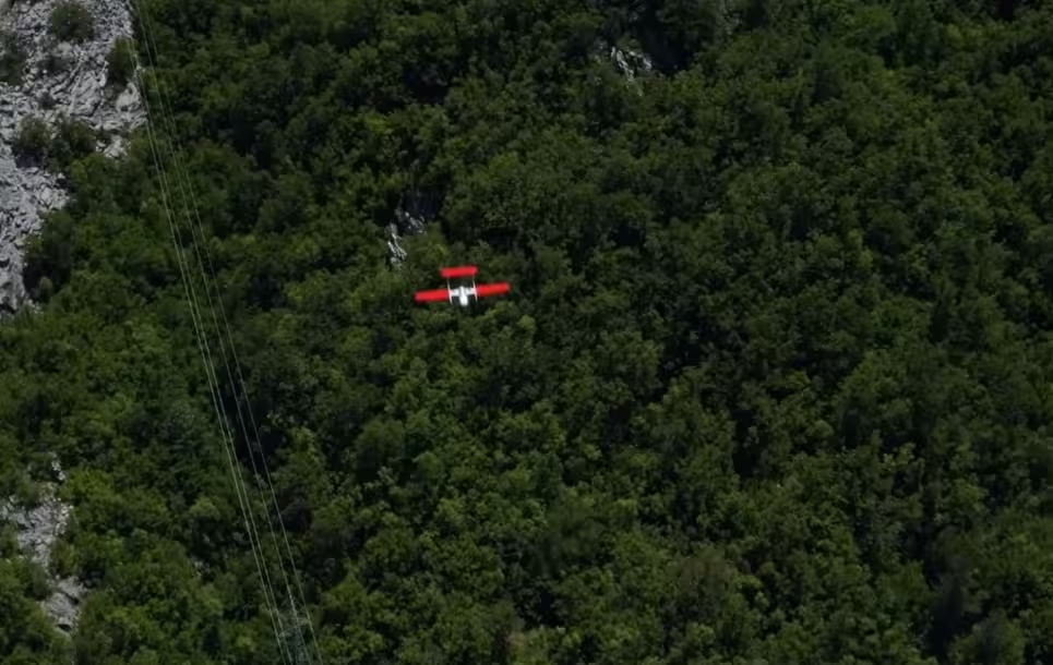
What area vs resolution can be covered during the single flight mission?
With a full-frame 42 MP Sony RX1R II or a 24.3 MP Sony A6000 camera and a multi-frequency PPK GNSS receiver, FIXAR 007 delivers highly accurate and precise images, please see examples below.
The data is provided for an average 35 km (22 mi) long route:
1 cm/px: 70 ha (0.39 in/px: 173 ac)
3 cm/px: 183 ha (1.2 in/px: 452 ac)
5 cm/px: 415 ha (2 in/px: 1025 ac)
10 cm/px: 712 ha (4 in/px: 1759 ac)
*Actual data may vary depending on environmental and weather conditions, and flight mission configuration.
What is the maximum wind tolerance for FIXAR 007?
Up to 12 m/s (27 mph; 43 km/h; 24 knots).
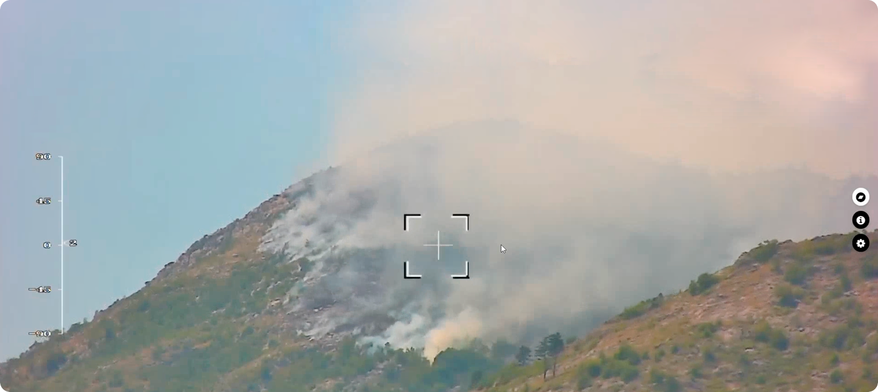
Can the UAV be flown in rain or snow?
Yes, in moderate rain or snow. Image quality may be reduced.
Can the FIXAR UAV fly in challenging weather conditions?
Yes, tested between –30 °C to +60 °C (–22 °F to 140 °F), and up to 4,500 m (14,763 ft) altitude. Protected from electromagnetic interference.
What kind of power supply is used in FIXAR aircraft?
FIXAR 007 operates on lithium-polymer batteries.
What happens if during the flight the aircraft gets into the range of navigation signal jammers (silencers)?
FIXAR UAV uses a unique algorithm embedded in its autopilot system. Upon signal loss, the UAV stops the mission and returns to the home point using the Inertial Navigation System and barometric sensor. After signal recovery, the operator can resume or terminate the flight.
How many frequencies are available in the geodesic receivers used during the flight?
Single-frequency (L1) or dual-frequency (L1\L2) GPS surveyor’s receivers are used, depending on configuration.
What data link frequencies are used for telemetry? Do FIXAR use an LTE/4G connection?
FIXAR units use radio frequency for telemetry: 868 MHz for Europe / 900 MHz for USA and Canada. On request, LTE/4G or other connections can be implemented.
What are the main functions of FIXAR xGroundControl Software?
FIXAR xGroundControl is a proprietary software designed to set and create a flight mission. Operating with xGCS offers a stress-free environment and enables the aircraft to operate in an efficient way with friendly flight control.
With xGroundControl Software the operator can:
- Develop and edit all parameters of a flight mission. Create linear and area routes, flights, and landings.
- Plan a route and negotiate obstacles throughout the journey.
- Upload a mission into the onboard Autopilot so it can be replayed later directly in flight.
- Run a preflight check of the aircraft to ensure safe flight.
- Display real-time aircraft data.
- Automatically track the terrain when making a route.
- Automatically snap the resulting photos for post-processing in dedicated software
- Playback recorded flight data.
How many languages are available in the FIXAR xGroundControl?
Currently FIXAR xGroundControl Software is available in English language only.
Does a laptop come along with the xGroundControl Software?
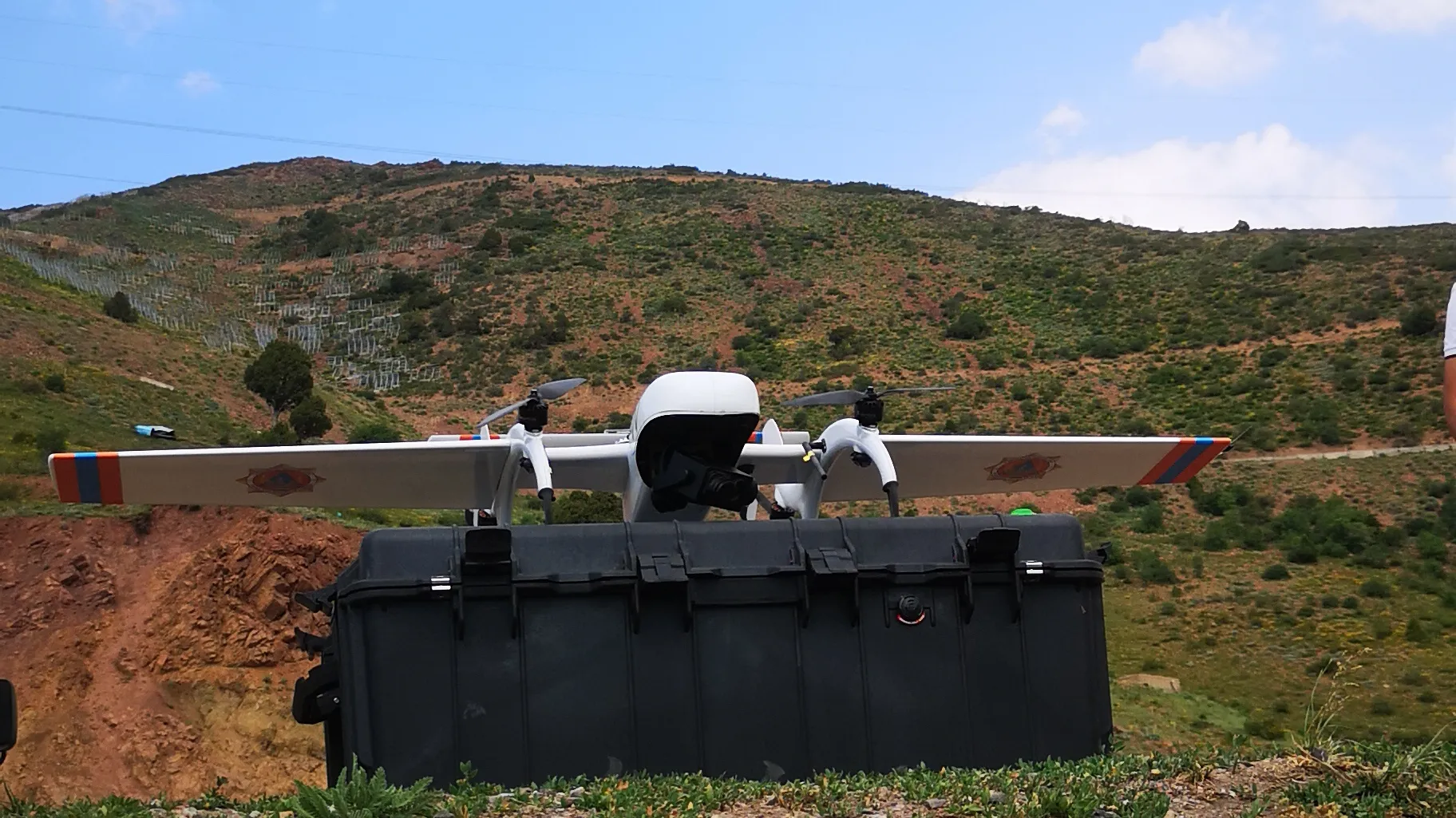
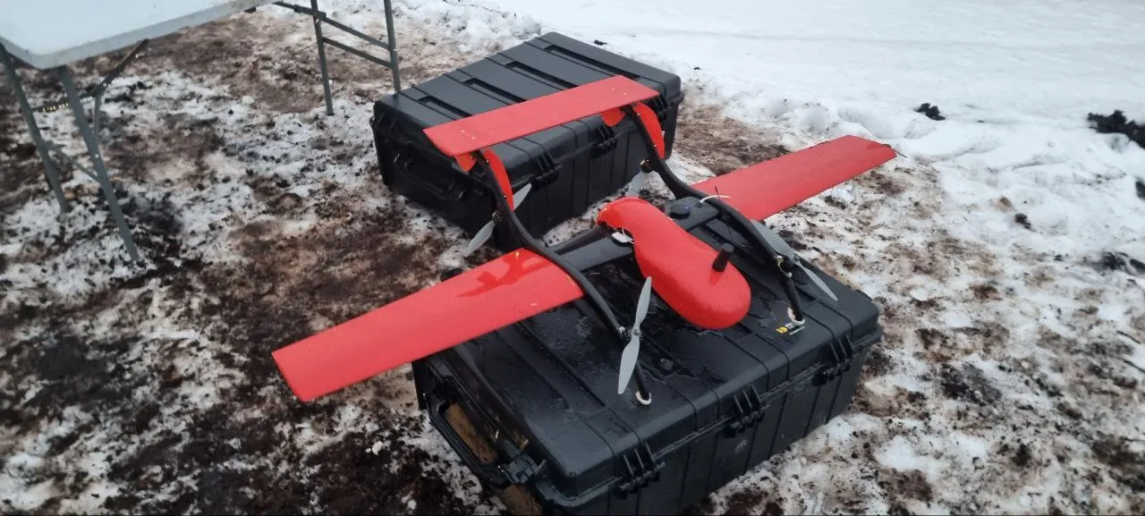
FIXAR supply kit consists of:
- FIXAR aircraft
- FIXAR xGroundControl software
- Telemetry kit for communication with the aircraft in real-time
- 2x standard battery with charger
- Peli heavy-duty transport and storage case
No laptop is provided in the FIXAR supply kit unless on individual request. The user is required to install the FIXAR xGroundControl software on their own laptop (Windows and MacOS supported).
Can the aircraft be controlled from xGroundControl Software manually?
FIXAR is a completely autonomous UAV solution, however, operators constantly have control over the aircraft in order to provide maximum reliability. At any flight stage, the operator can command the drone to pause the mission, return home point, or loiter at a safe point. Real-time manual control is not provided.
Can more than one unit be launched at the same time?
Each aircraft is independently controlled by its own xGroundControl Software. Thus in order to fly more than one FIXAR unit the operator is required to have a separate laptop with preinstalled xGroundControl Software per each aircraft.
What is the communication range between an aircraft and a xGroundControl Software?
The maximum data link range is 40 km (25 mi), however the communication range depends on the weather conditions and characteristics of the terrain.
What software is used for controlling the FIXAR drone? Is it an open source one?
An operator interacts with the FIXAR aircraft through the proprietary xGroundControl Software. An in-house developed software design to offer good usability, ease of use, an intuitive interface, and provides regular updates.
It operates locally, offline, can cache maps, upload 3D maps, and can be installed on any laptop with the latest Windows or MacOS operating system.
Does the FIXAR xGroundControl Software use the elevation data?
The terrain data (above sea level) is used by FIXAR xGroundControl Software while mission planning. However, buildings, masts, cell sites, trees and other objects are not taken into account. It is the operator’s responsibility to conduct the mission site assessment in order to define the minimum flight altitude for safe flight.
For safety reasons it is not possible flying the unit lower than 50 m (164 ft). It is also advised to switch the map from satellite view to vector map, enabling some infrastructural objects to be easily found, such as buildings, cell sites, masts, etc.
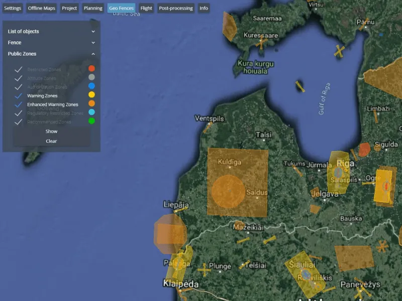
Is a geofencing feature available?
The geofence monitoring function is implemented as a standard feature for FIXAR xGroundControl Software. Meantime, the system allows users to build fences themselves to prohibit mission and flight in certain areas.
How to use battery efficiently?
Plan mission with the lowest possible number of turns – energy losses during this maneuver are up to 15%, so the fewer turns are put in the route, the more energy-efficient will be.
Consider the weather conditions. A strong wind will use the battery faster than flying in calm weather. On average, the difference during flights of identical missions in calm and with an average wind speed of 15 m/s is up to 35%.
Consider the power consumption of payload when calculating flight times. For example, a switched-on SONY A6000 camera uses about 5–7% of the total energy supply. Consumption will vary depending on image overlap settings and individual camera settings.
The fewer altitude differences, the more energy efficient is flight. When flying in mountainous areas, for example, flight performance can be improved by starting the mission from the top point of the route and landing at the bottom. In this case, the increase in energy efficiency can be up to 35%.
How long does it take to charge a battery?
The battery of FIXAR 007 takes 40 to 90 minutes to charge, depending on the rate of discharge during flight. The charging current should not be lower than 14 A.
What type of batteries do you use?
Lithium-polymer and Lithium-ion batteries are used to power FIXAR aircraft.
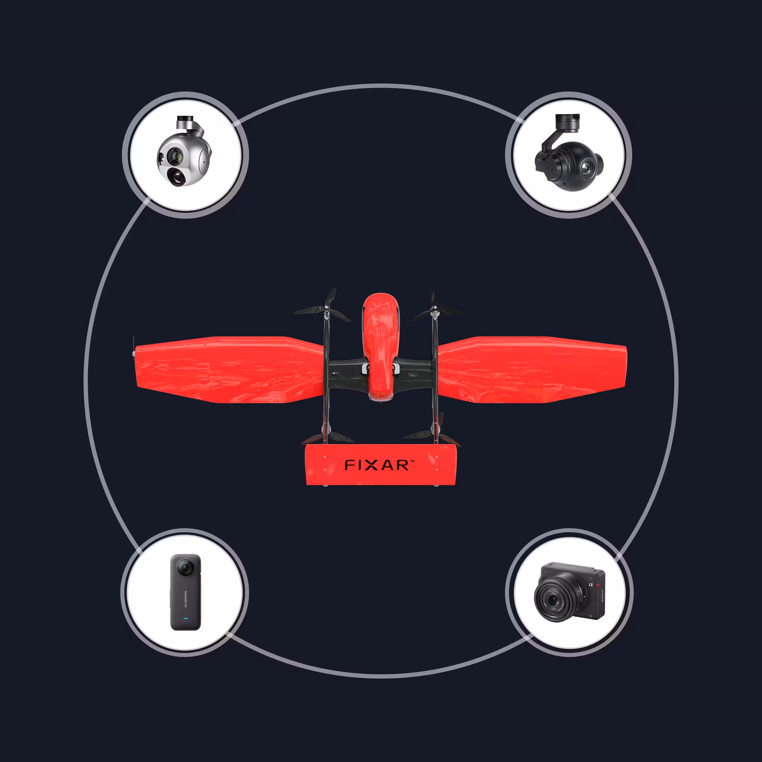
Can payloads be changed?
FIXAR provides a wide range of swappable payload modules such as a high-resolution RGB camera, multispectral camera, LiDAR, or even a combination of several sensors.
FIXAR aircraft also has a special configuration function for last-mile delivery applications equipped with cargo box mounts. And a custom dispenser for dry bio protection distribution for precision farming.
Moreover, any type of third-party sensor can be mounted within the limits for total payload weight up to 2 kg (4.4 lb) for FIXAR 007 and 10 kg (22 lb) for FIXAR 025.
What is the maximum weight FIXAR can carry?
The maximum payload capacity for FIXAR 007 is 2 kg (4.4 lb) and for FIXAR 025 – 10 kg (22 lb).
What kind of outputs/reports does the client get after the flight?
When using the aircraft for aerial photography purposes: the client receives data, e.g. images, metadata from onboard GPS surveyor’s receiver, ready snapping files for most image post-processing programs – for generating high-resolution orthomosaics and detailed 3D models.
Such snapping files are consistent with most popular processing software such as Drone Deploy, Pix4D, Agisoft Metashape, Bently Context Capture, Reality Capture, etc.
Do you use RTK and PPK? From which manufacturers?
Yes, GNSS receivers are used with PPK technology. Depending on the clients’ requirements, we can integrate the most suitable equipment into the FIXAR unit, including the RTK option. In basic versions of equipment, we use GNSS receivers from Emlid M+, Topcon B111, Trimble BD930 with PPK technology.
Can a third-party laser scanner be mounted?
Any type of third-party sensor can be mounted within the limits for total payload weight (2 kg / 4.4 lb), size of payload compartment (136x70x131 mm) and power consumption.
Can you provide technical specifications for the LiDAR scanner?
The FIXAR 007 standard solution for drone-based laser scanning is equipped with one of the following: YellowScan Mapper+OEM, TOPODRONE AVIA, TOPODRONE ULTRA.
As an add-on accessory, we provide a secure LiDAR payload protection system that keeps the sensors safe in case of emergency scenarios. An inflatable airbag will deploy and shield the drone’s payload to protect the expensive sensors, reducing time and financial losses.
Other LiDAR sensors could be integrated within the limits for total payload weight (2 kg / 4.4 lb) as per the client’s request.
Are the images from the camera transmitted to the xGroundControl Software?
All images are saved to the camera’s SD card. The FIXAR proprietary Autopilot system has an image shooting control system that captures the moment of the shot and transmits metadata information to the xGroundControl Software.
Thereby during the flight operator can monitor whether the sensor is operating.
Is full control of the onboard camera settings available during flight, or through the mission planner?
The camera is adjusted before flight. It is not possible to change camera settings during flight.
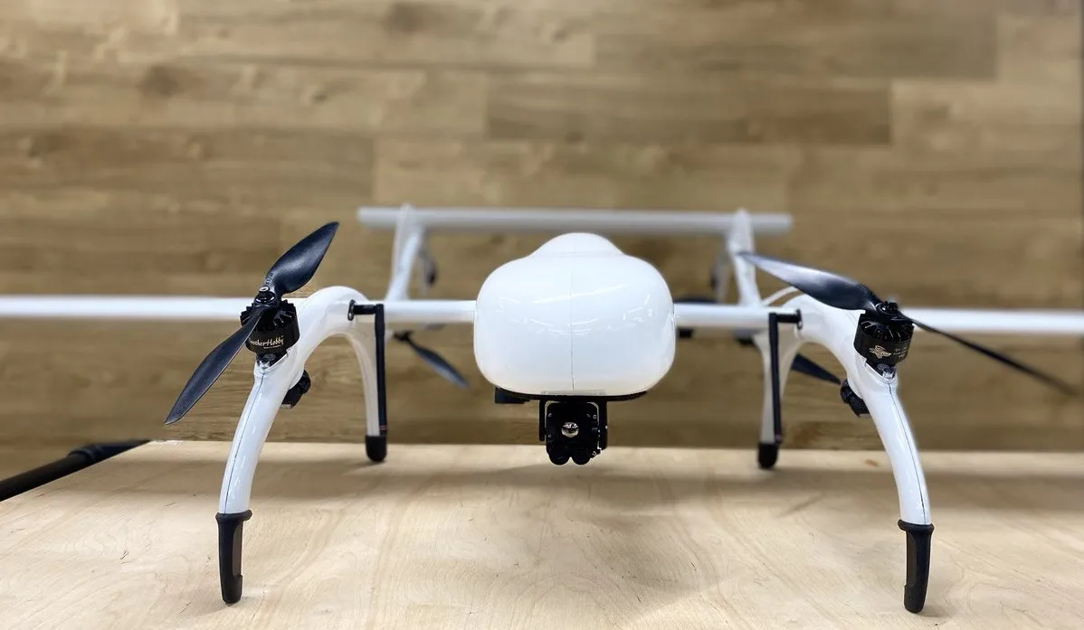
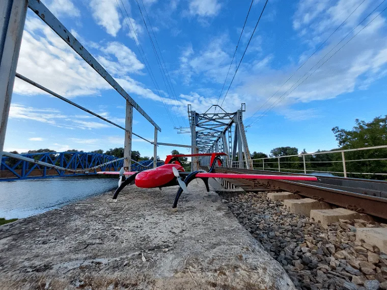
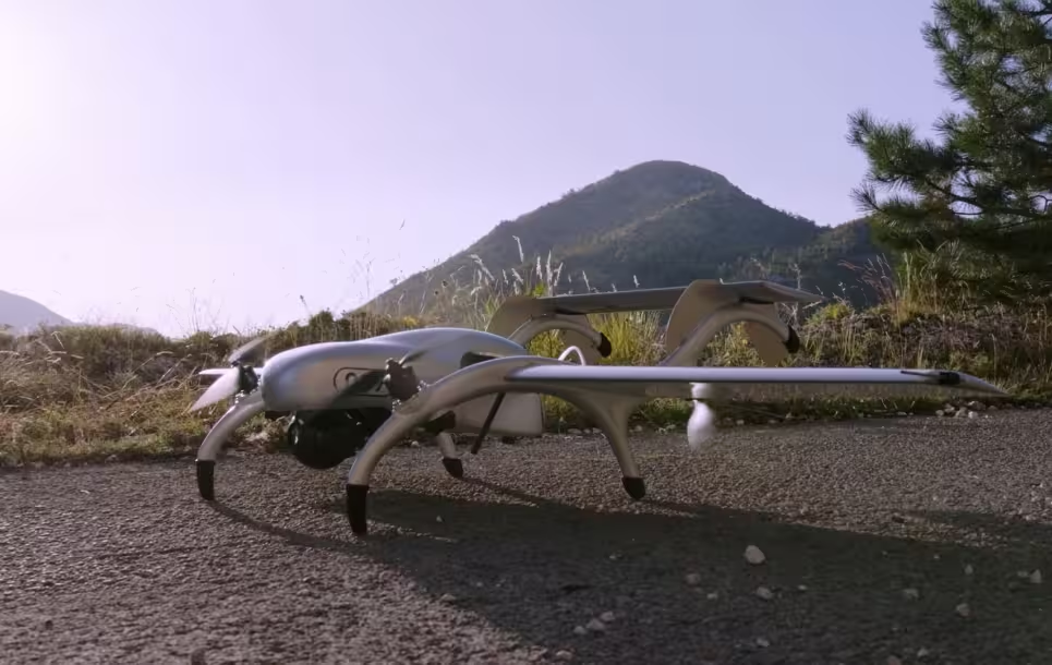
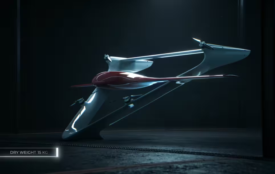
What is FIXAR UAV made of?
FIXAR UAVs are made from composite materials, such as fiberglass, carbon fiber, ultra-light composites, Kevlar™ . All major components are protected according to the IP55 standard.
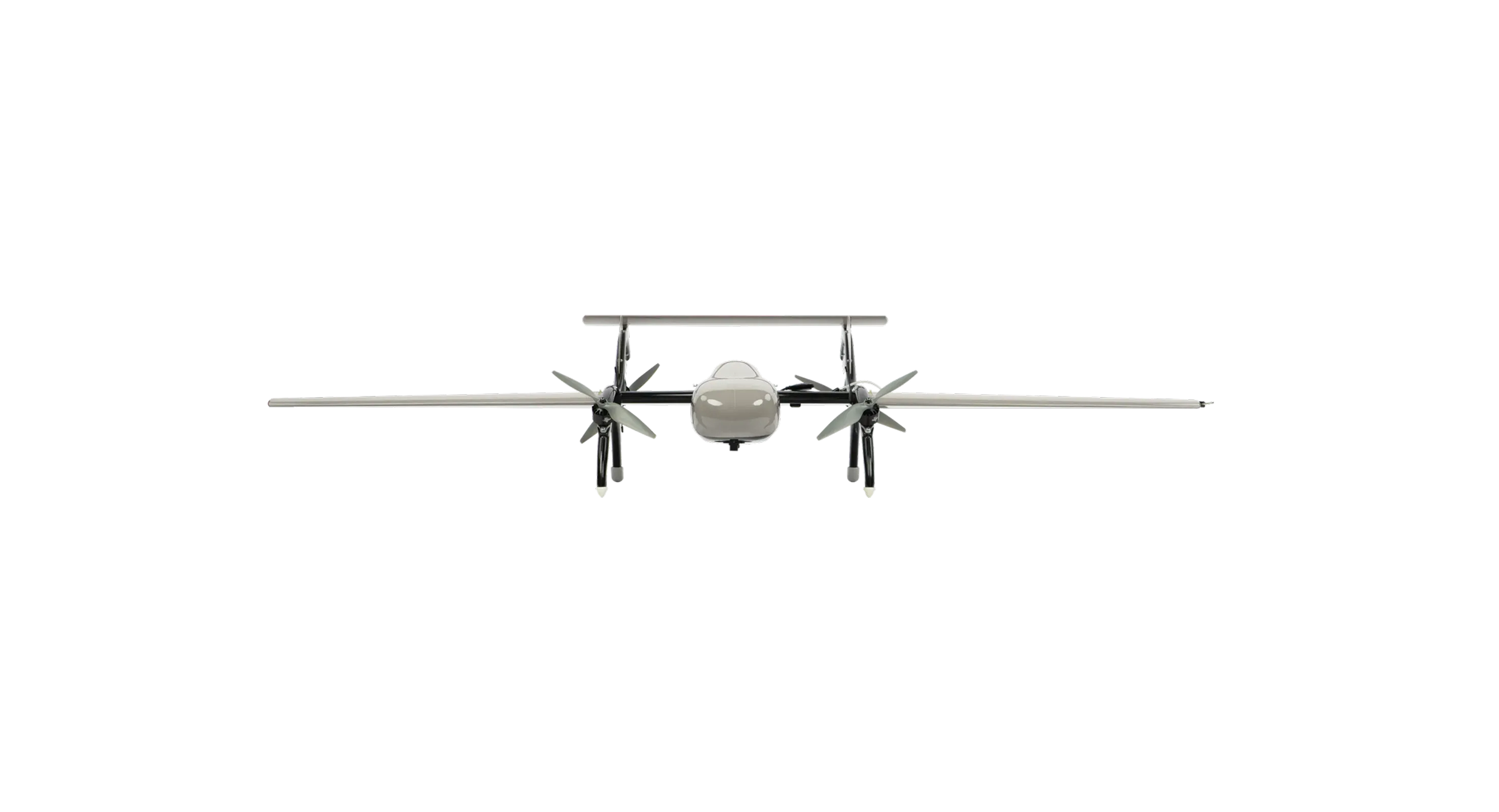
Does FIXAR use a tilting rotors scheme?
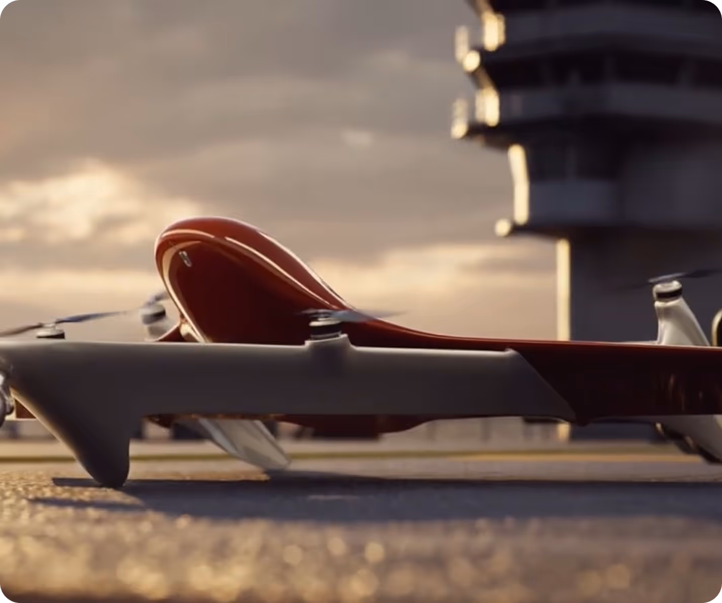
All 4 rotors are mounted at a fixed angle on a frame that swings forwards and backward relative to the rest of the aircraft. Thus, the vector of the lifting force from the rotors lifts the aircraft and ensures its horizontal flight pattern. During cruise mode and in vertical takeoff/landing mode, all rotors remain in effect and do not create drag during a flight. Moreover, in horizontal flight, not only the wing but also the rotors generate lift resulting in a 3 times increased power reserve in comparison with copters type UAV’s of the same weight.
Where are the components for FIXAR UAVs sourced from?
All design and manufacture is made in house, from the aircraft’s structural elements to the autopilot boards. Some performance parts (such as rotors or battery elements) are purchased from specialized third-party suppliers in order to provide the best quality and reliability.
Does FIXAR Autopilot use the PX4 flight stack?
FIXAR represents an all-in-one UAV solution with its own hardware and in-house developed software. FIXAR doesn’t use any open-sourced stacks, neither PX4, nor Mavlink.
What type of surveyor’s GPS is used for surveying missions?
FIXAR can be equipped with an optional GNSS receiver that operates in PPK (Post Processing Kinematic) mode. PPK module consists of a receiver unit and an antenna.
How does FIXAR warranty work?
FIXAR 007 package comes with a warranty period of 12 months or 80 flights (take-off and landing cycle), effective from the date the product is received by the customer. During the warranty period FIXAR provides free of charge service and support (DDU Dealers facility), to repair any damages or malfunction covered by the warranty and that is not in result of any misuse of the equipment, damages resulting from bad weather conditions or by third parties.
.svg)
.avif)
.avif)