.avif)
Solution
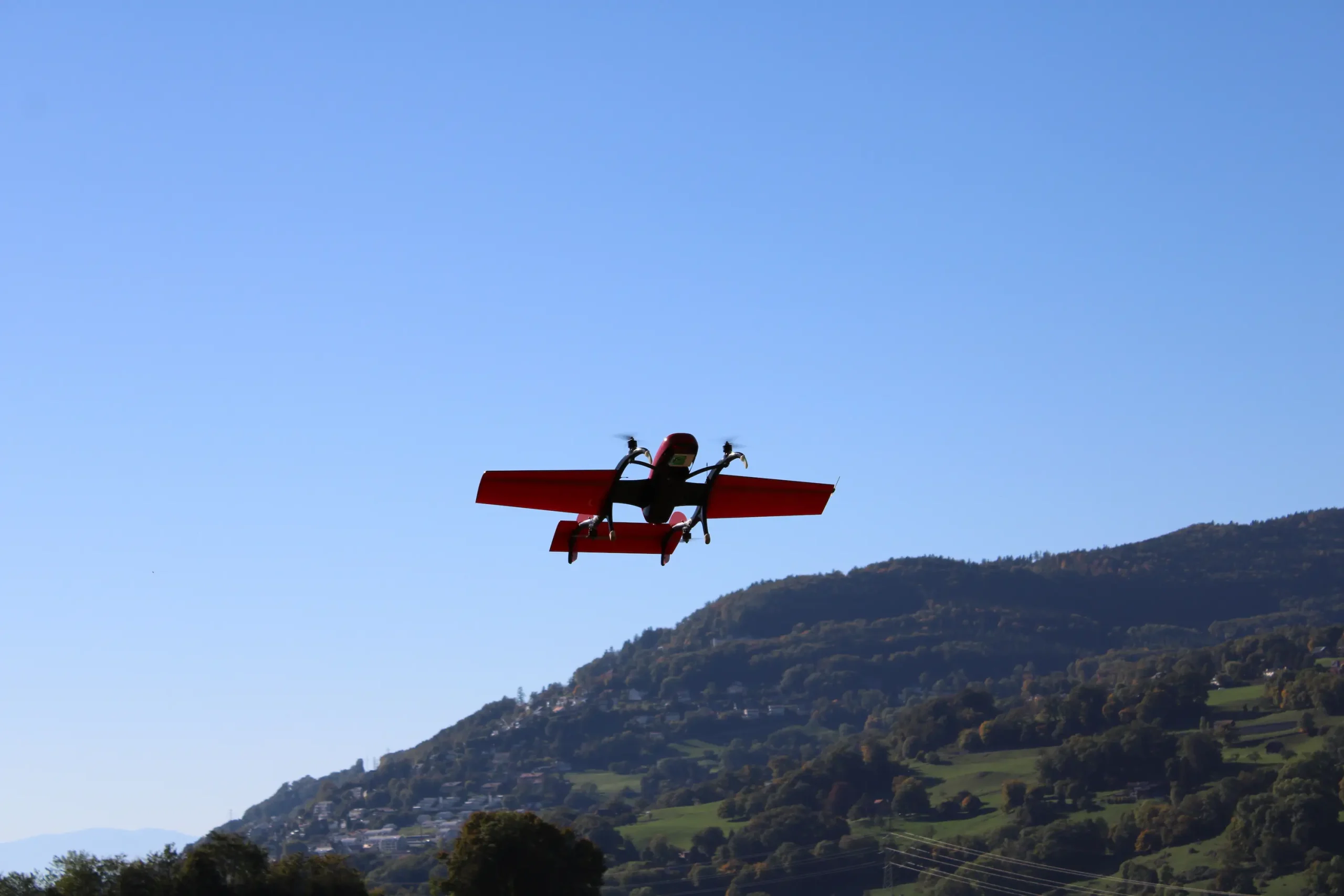
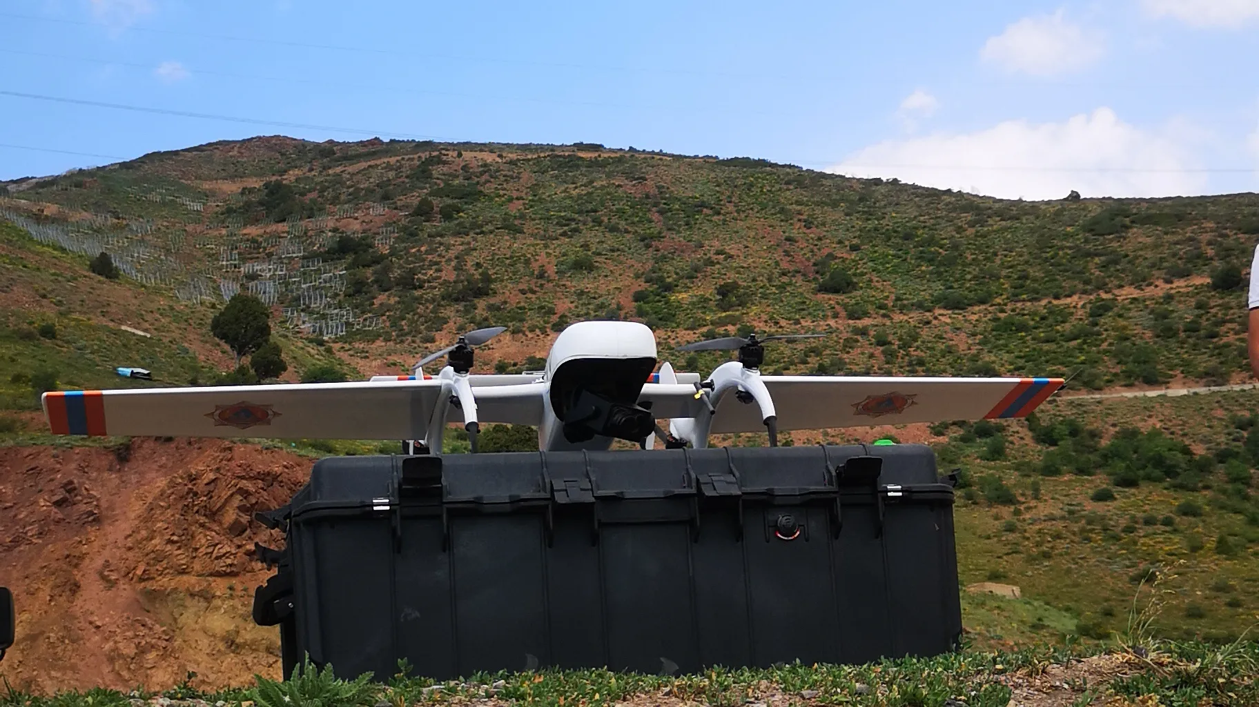
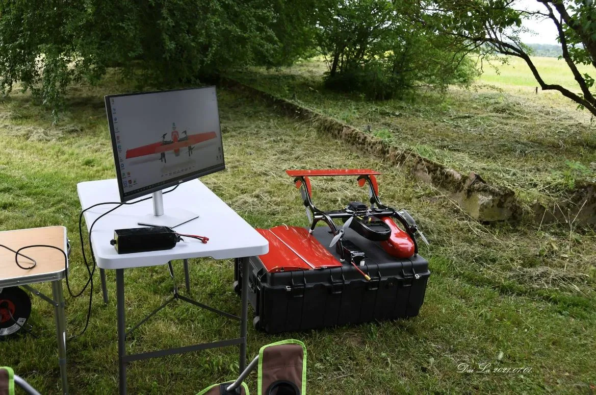
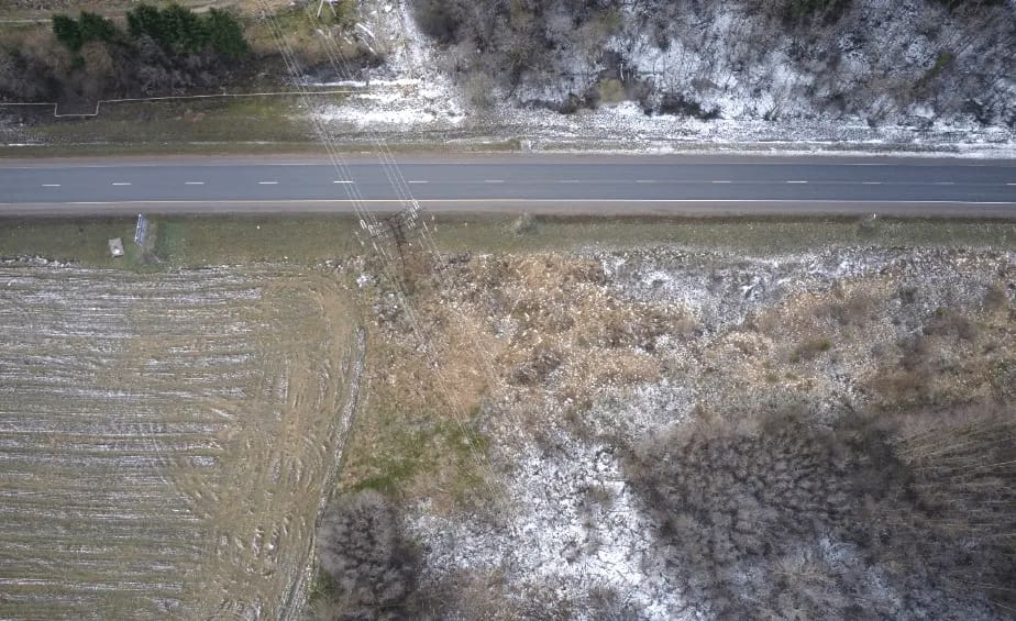
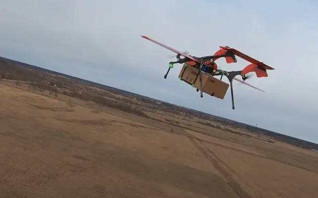
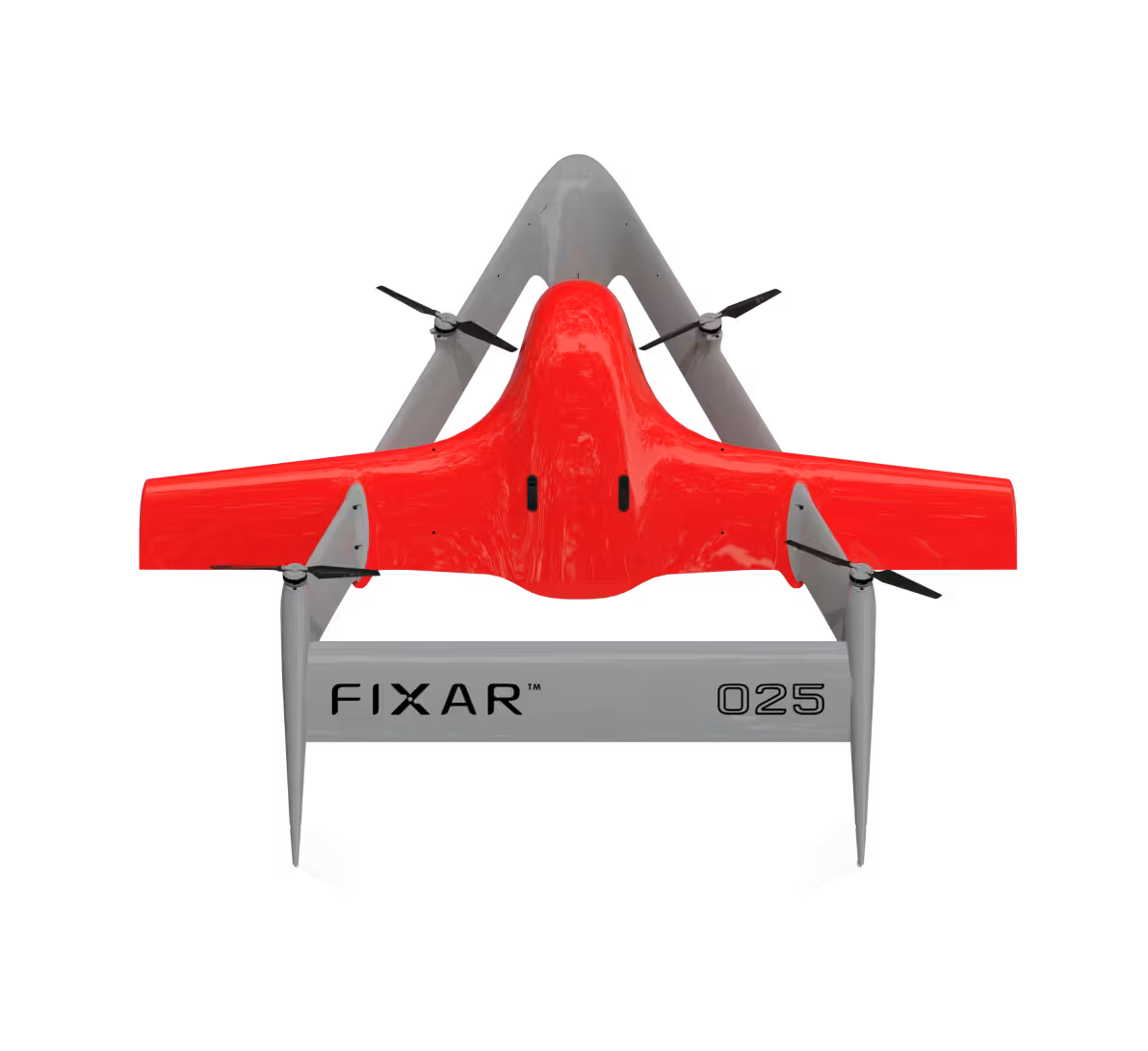
FIXAR 007 NG aircraft was equipped with a RESEPI VLP16 LiDAR sensor as well as onboard GNSS for data accuracy.
Work progress
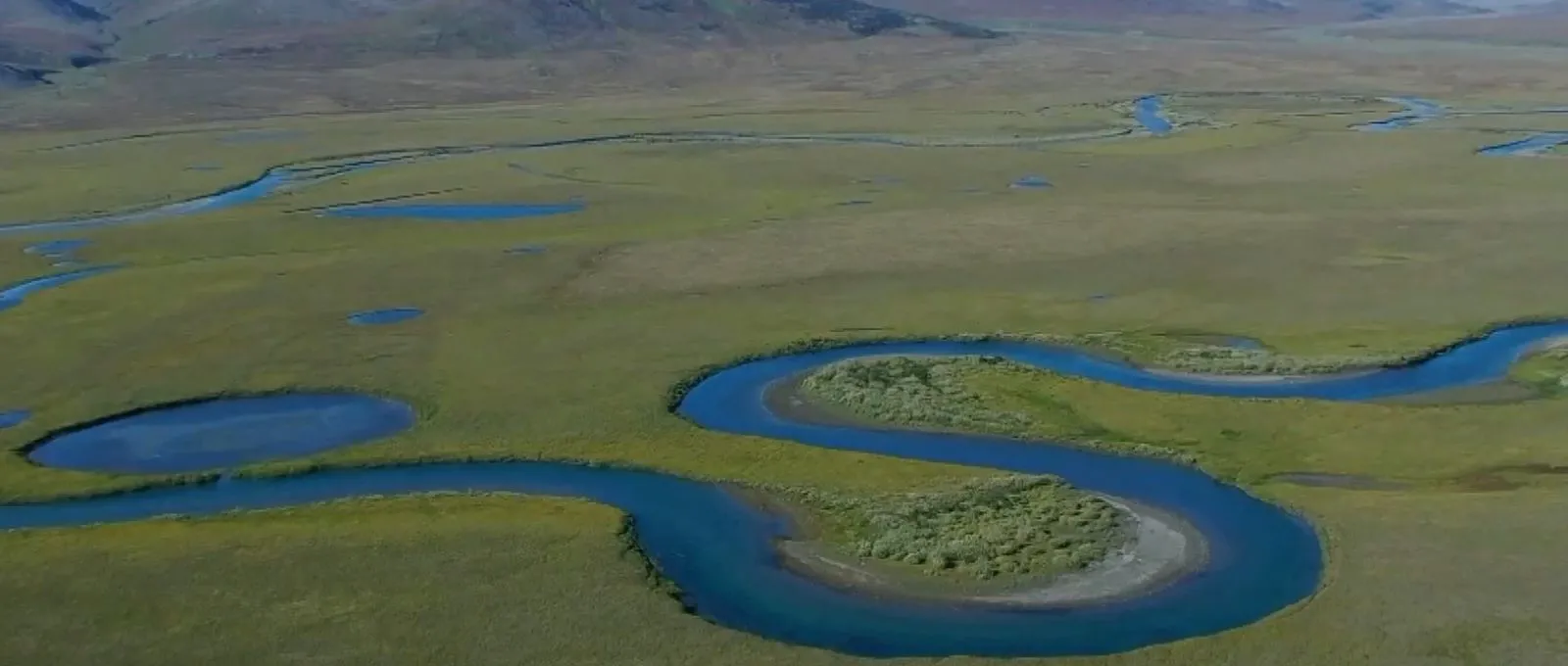
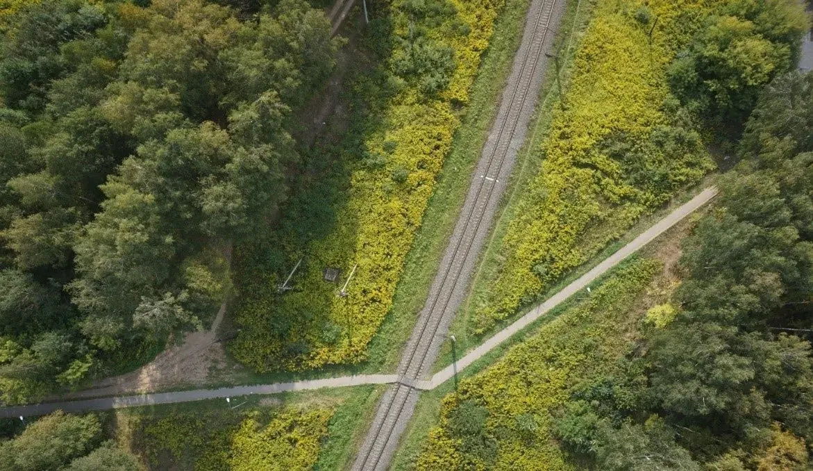
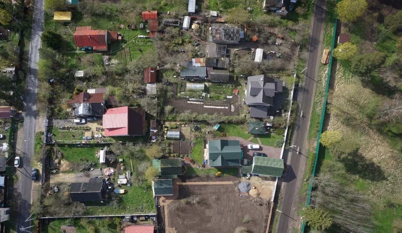
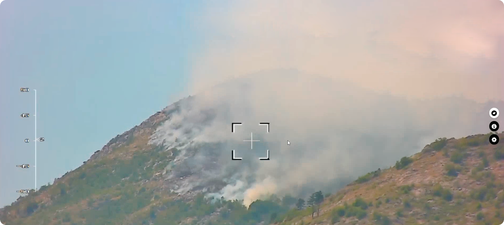
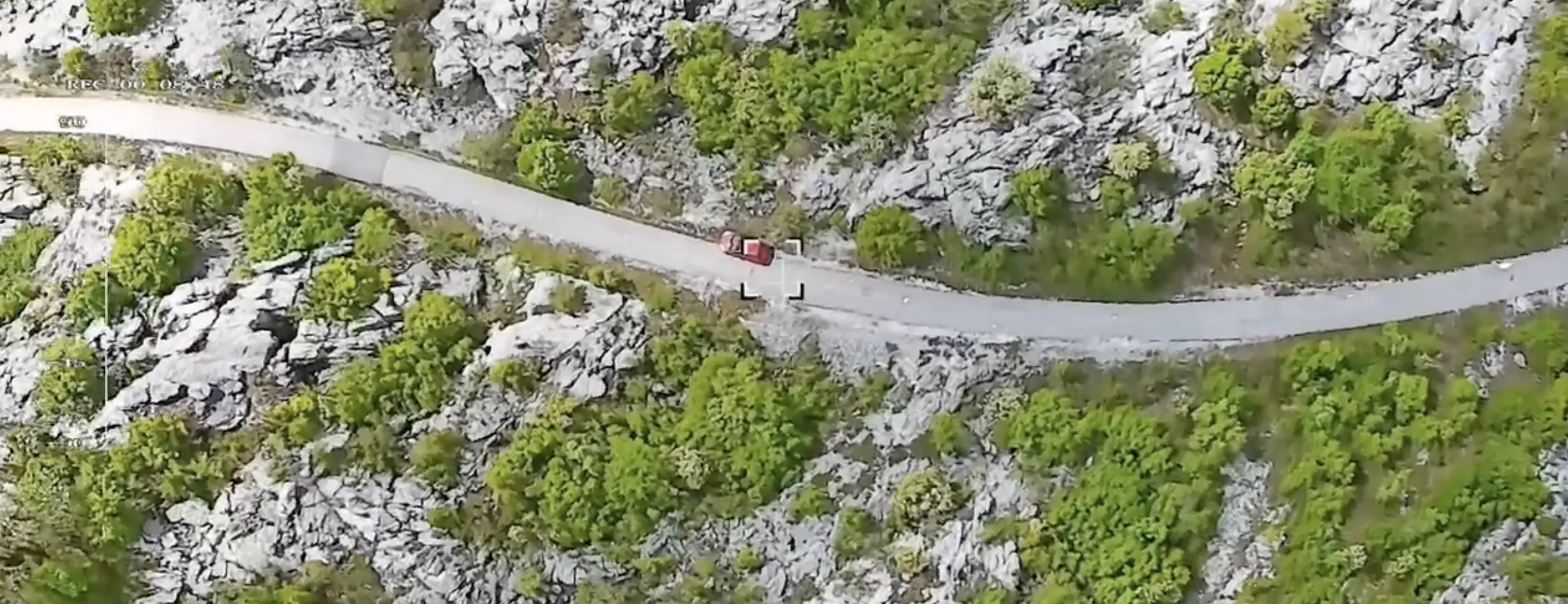
A total distance of 12.5 km (7.8 mi) of linear path was covered during the mission in East Germany. An average flight speed of 62 km/h (39 mph) during the mission allowed FIXAR to cover the whole distance in just 12.5 minutes. According to the mission objectives, a point cloud was obtained and provided to the customer for further post-processing.
Main takeaways
With previous experience using a DJI Matrice 300, the customer was impressed by the speed of takeoff as well as the time required for mission execution.
Using a DJI UAV, it was necessary to divide the mission into two parts of 20 and 25 minutes. An additional 20 minutes were needed to change batteries and calibrate the LiDAR, as sensor calibration is required after each battery change. Also, the connection to DJI telemetry was unstable, and the customer was required to follow the UAV by car; otherwise, the UAV would lose connection and would not be able to continue the mission.
This makes the FIXAR 007 NG UAV solution not only more reliable and easy to use but also 5 times more efficient compared to the DJI Matrice 300 in terms of time spent in the field on the same-distance inspection tasks.
Flight mission overview
{{INSPECTION="/custom-tables-elem"}}
.avif)