Aerial photography
Coverage-Maximization and Cost-Efficient Solution
Why would you choose drone for surveying, drone mapping, and drones for other similar tasks?
When it comes to land inspections, mapping, and drone surveying, accuracy and ease of use are key factors. Fieldwork requires many teams putting in long manhours, extending project timelines, and entailing higher costs. Leverage solutions that will cut costs and increase accuracy using professional drone technology for aerial photography.
FIXAR 007 NG aerial mapping systems have a working payload capacity of 2kg (4.4 lbs), with a spacious and easily adaptable payload bay. As a result, it is easy to set up an array of sensors to capture more data and higher quality images with fewer flights, saving time, labor, and money.
The Solution: FIXAR 007 NG
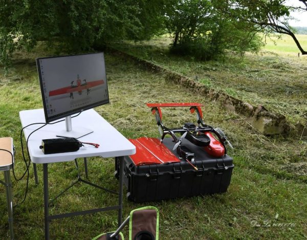
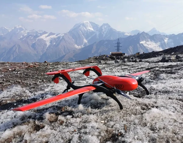
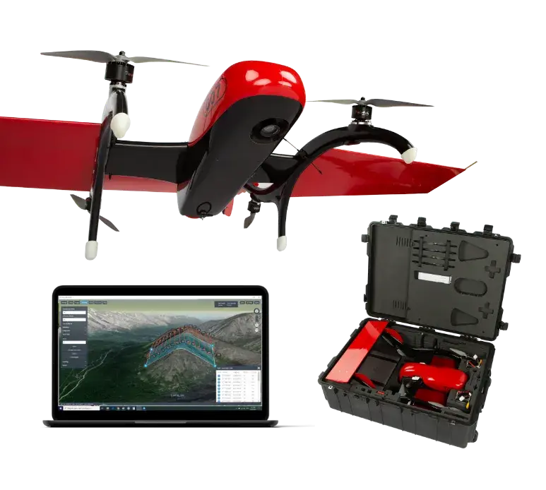
FIXAR 007 NG is a vertical take-off and landing professional drone for aerial mapping that offers reliable autonomous flight with a range of up to 60 km (37.2 mi) at a cruise speed of 65-72 km/h (40-45 mph). The quick five-minute setup and high payload capacity make it perfect for aerial tasks.
Learn MoreFIXAR Meets the Challenges of Aerial Photography
High-Quality Images
High-quality aerial surveying images at the required shooting scale. RTK* and PPK** technologies ensure accurate geo-tagging
Increased Productivity
Fixed-wing productivity and capability. Complete autonomy eliminates the need for operator assistance. Simply create a flight route and click ‘Start’.
Simple Operation
Ultimate ease of operation using intuitive xGroundControl Software. Special piloting skills are not required. FIXAR provides basic training.
All-Terrain Take-Off and Landing
Built-in flight and navigation algorithms allow FIXAR fixed wing drone to take off, complete a flight, and land safely and reliably every time, even where geomagnetic anomalies exist.
Plug and Play Payload Modules Based on Real Job Tasks
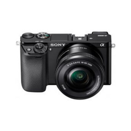
Sony Alpha A6000
Effective Megapixels: 24.3
Sony RX1 RM2
Effective Megapixels: 42.4

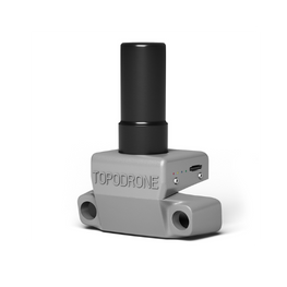
Onboard GNSS receiver
Guarantee the exact coordinates of images
using Post-Processing Kinematic (PPK) method.
Accuracy XYZ: 3-5 cm
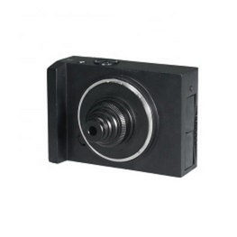
Foxtech Map-A7R II
Effective Megapixels: 42,4
Plug and Play Payload Modules Based on Real Job Tasks
High Quality Outputs from Every Single Mission

Orthomosaic Maps
Orthomosaics of Mount Elbrus for cable car reconstruction.
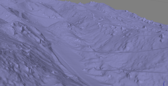
3D Models
3D Tin model of a mountainous area.
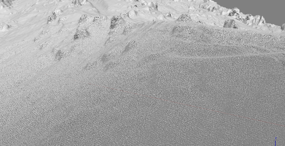
Point Cloud
Point cloud of a mountainous area.
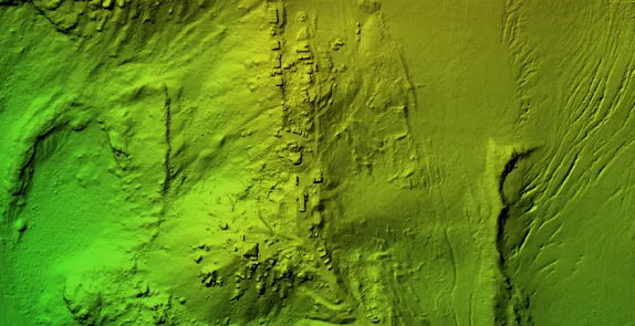
Digital Elevation Models (DSM/DTM)
Elevation model of the terrain of one of the slopes of Mount Elbrus.
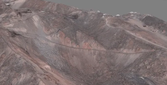
Tiled Models
Tiled 3D model of one of the slopes of Mount Elbrus.


Post-processed Data Examples
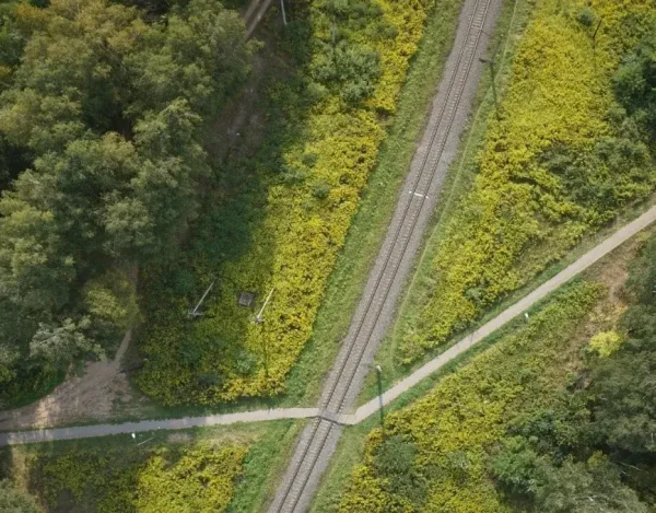
After the aerial data is collected it is exported and processed with software to deliver desired data sets for further work. A 3D map is a common end result for aerial photography as it provides a realistic view of a location or an object. For many industries, such as the construction sector, a 3D map is as useful as a blueprint and inspection material. It is convenient and easy to visualize object plans on a 3D map and identify possible obstructions which may occur during construction.
Here are some examples of processed data sets from the mountainous region at an altitude range of 2,900-3,000m built on the Agisoft Metashape program. Data captured with Foxtech Map-A7R II with 5cm/px precision.
What Partners Say About FIXAR 007 NG UAV

FIXAR’s patented aerodynamic design reduces the wear and tear of moving parts versus other VTOL aircrafts I’ve tried. The fully autonomous programming function is very valuable in areas where training is limited. The short time that it takes to have a flight plan transferred to the aircraft and have the aircraft airborne is a huge plus, especially in projects where timing is critical.
Henk Boneschans
Explore OtherSolutions
FIXAR professional drones are paired with proprietary xGroundControl Software to deliver an elegant all-in-one UAV solution that is revolutionizing how technology is being used in various industries worldwide.


