.svg)
.svg)
.svg)

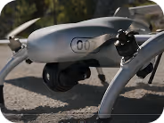
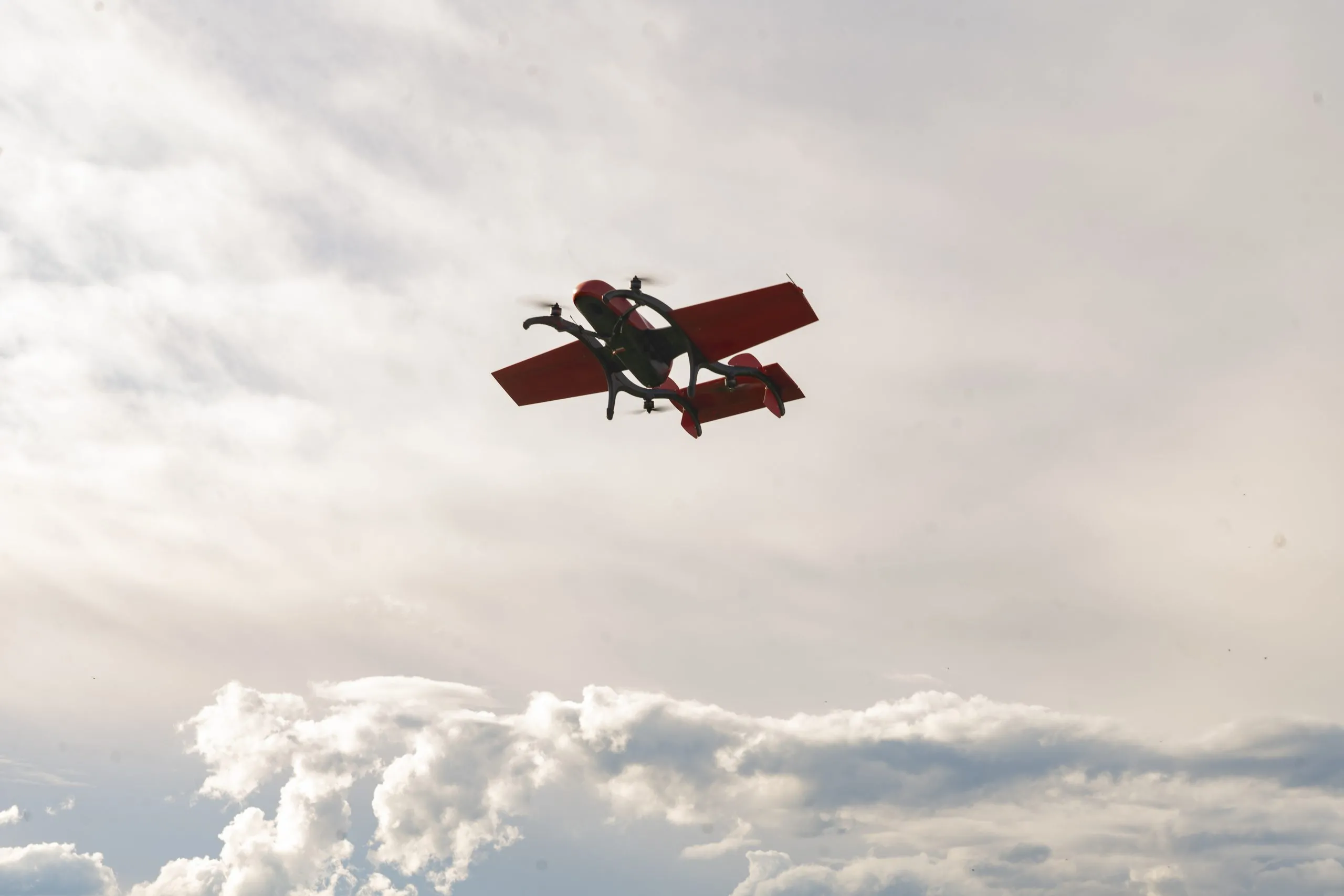
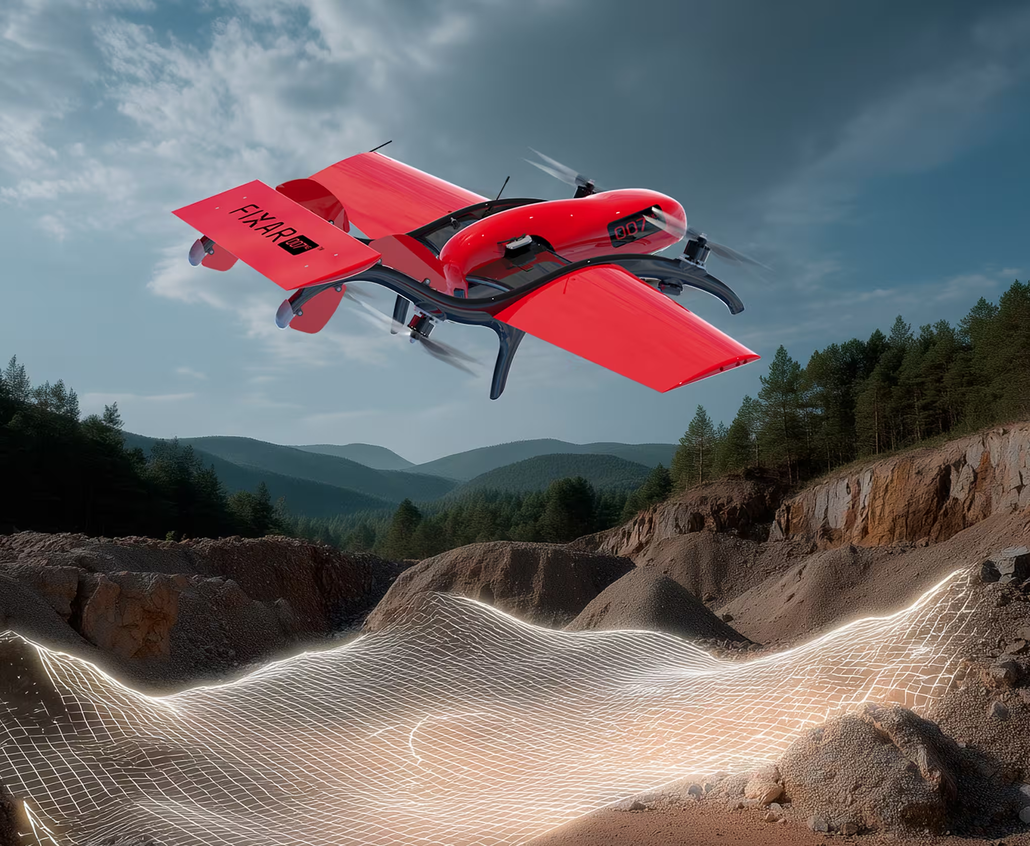
FIXAR 007 NG is a compact VTOL UAV designed for tactical and industrial missions in the field. Fast deployment and autonomous navigation, purpose-built for diverse field missions

Key advantages
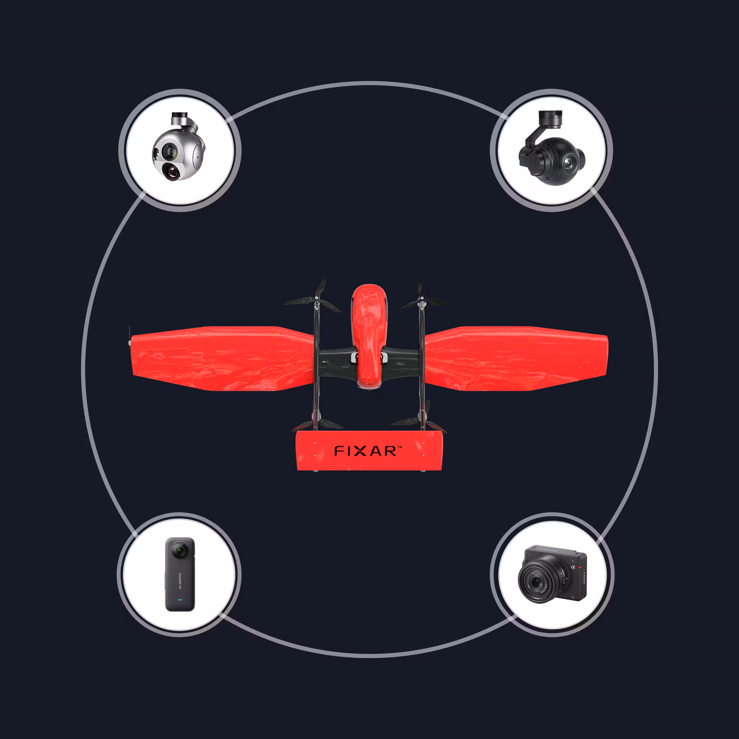
xGroundControl
The closed-source xGCS lets you plan and edit missions, with 3D visualization and real-time flight monitoring

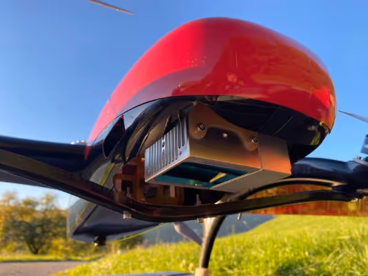
FIXAR Autopilot
Complete autonomous mission execution,
including takeoff, landing, and real-time surface track-and-follow
Payload efficiency
Delivers 0.28x payload-to-MTOW ratio, supports up to 2 kg (4.4 lb) payload with only 7 kg (15 lb) total weight
Agile design
Lightweight and portable for fast setup in field conditions
Technical specifications
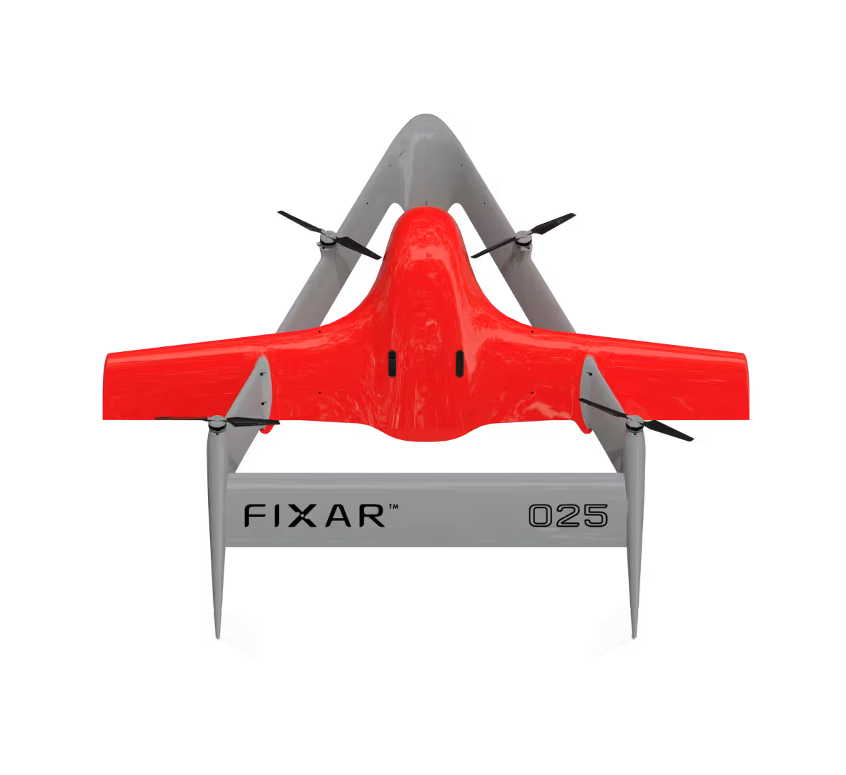
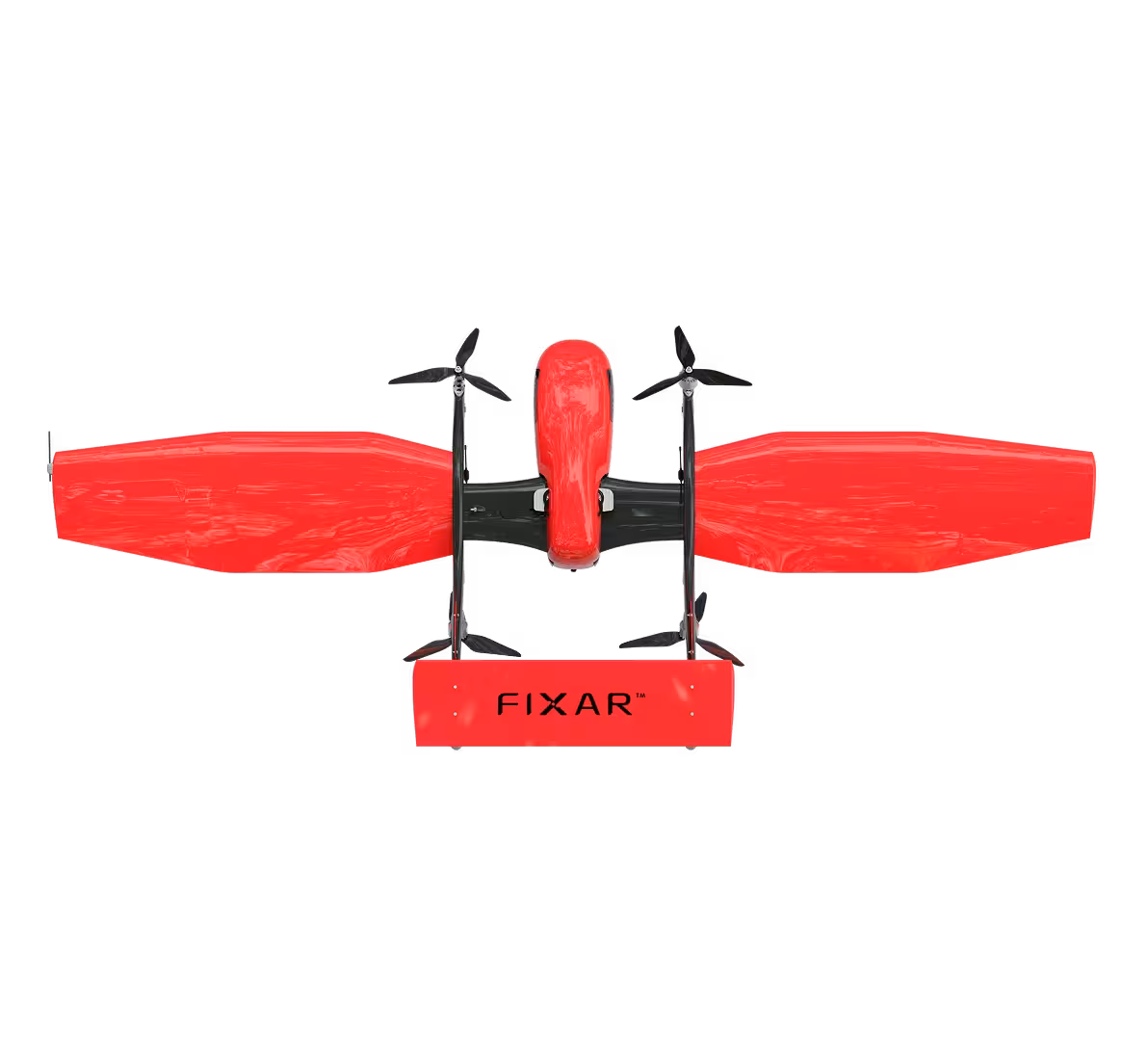
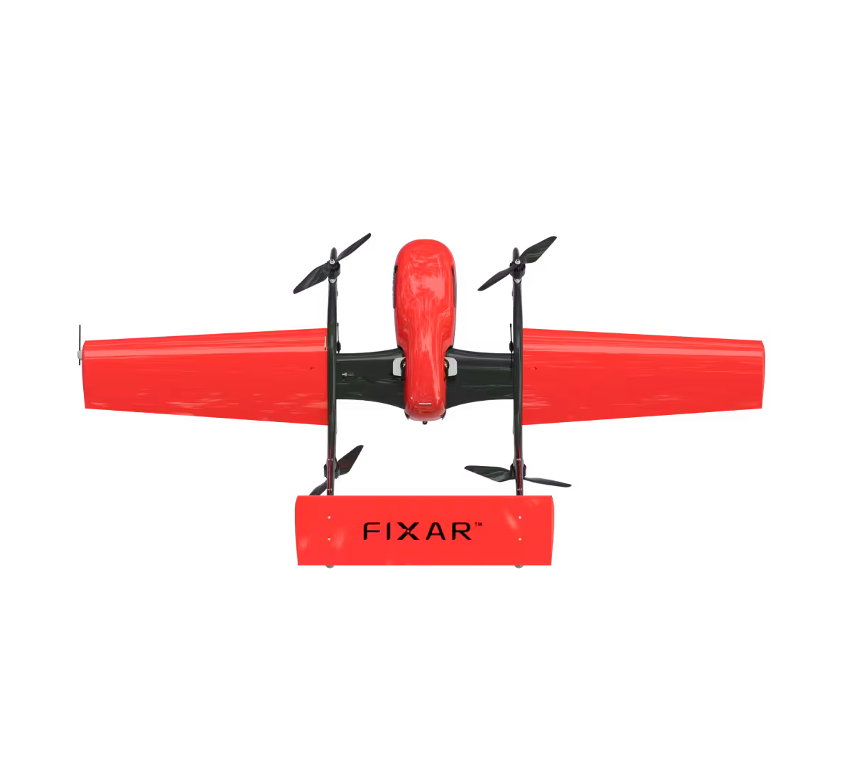
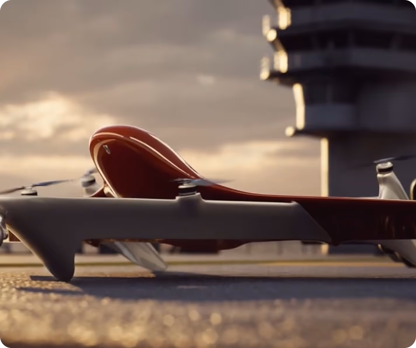
FIXAR 007 NG is a compact electric VTOL UAV for tactical and commercial use. With a 1.6 m (5.3 ft) wingspan, up to 70 minutes of flight, and up to 2 kg (4.4 lb) payload, it offers the right balance of flight distance, efficiency, and reliability
1.6 m
70 min
55 km
2 kg
7 kg
5.3 ft
70 min
34 mi
4.4 lb
15 lb
Real scale comparison
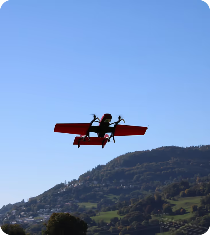
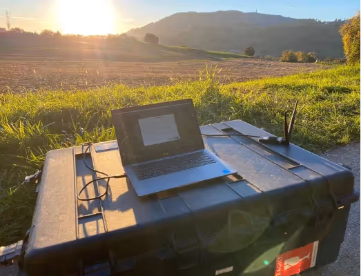
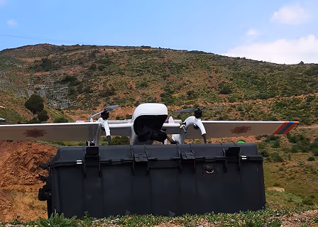
FIXAR 007 NG is ultra-light and compact, built for fast field deployment. With a wingspan of 1.6 m (5.3 ft) and a maximum takeoff weight (MTOW) of just 7 kg (15 lb), it fits into a single case and can be assembled in minutes by one person


Designed to fit the real world
Designed for agile missions in diverse conditions, FIXAR 007 NG combines smart autopilot, rapid setup, and compact form factor to deliver performance wherever it's needed


Mission-ready UAV solutions for diverse industries and environments

Surveillance and monitoring
Monitor large public gatherings, protests, or events to identify potential disturbances and manage crowd behavior in real time

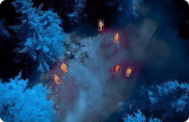
Search and rescue operations
Deploy thermal imaging and night vision payloads to locate missing persons in remote or hard-to-reach areas

Fire response and incident assessment
Deliver real-time aerial intelligence on critical situations such as fires, hazardous material spills, or structural collapses
.svg)

.avif)
.avif)