Problem description
Aerial photography is one of the most efficient and fastest methods of obtaining, studying and presenting objective spatial data for topographic plans, construction monitoring, etc. However, when selecting right equipment for the task, the customer should carefully consider equipment requirements and potential risks within the boundaries of inhabited localities:
- RPAS flights over populated areas pose an increased risk to the safety of people and their property;
- As a result, a vertical take-off and a precise vertical landing must be available;
- In urban and rural environments, the radio frequencies are always cluttered with electromagnetic radiation from various domestic and industrial equipment, such as Wi-Fi routers, wireless gadgets, and even some construction tools;
- Malfunctions of the magnetometer sensors in the zones of magnetic anomalies cause some RPAS models to fall as their flight becomes unpredictable.
Solution
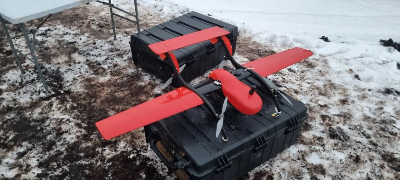
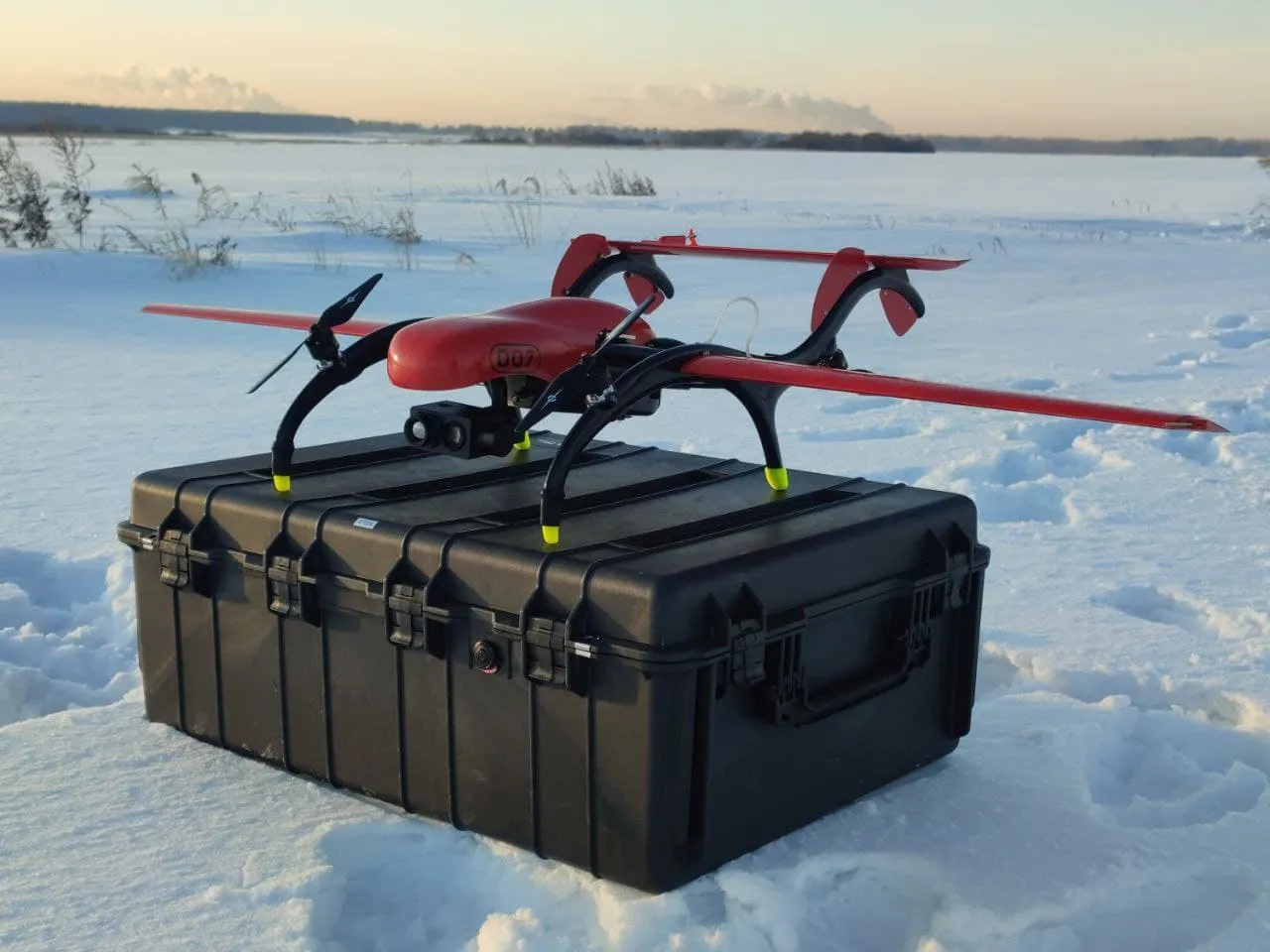
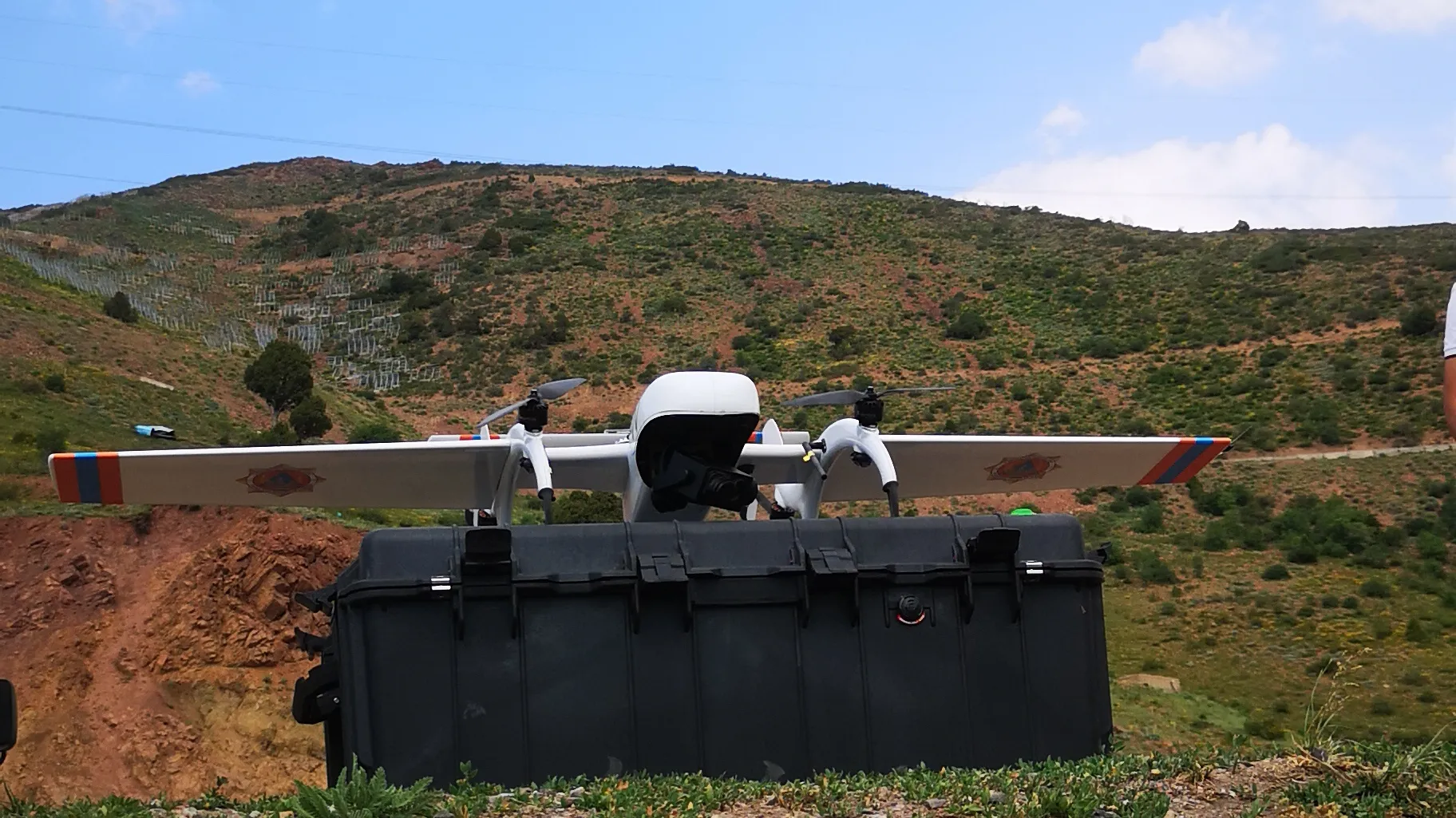
FIXAR™ 007 NG aerial photography package fully presents a solution to the challenges faced by the customer:
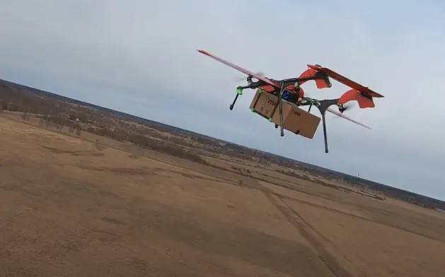
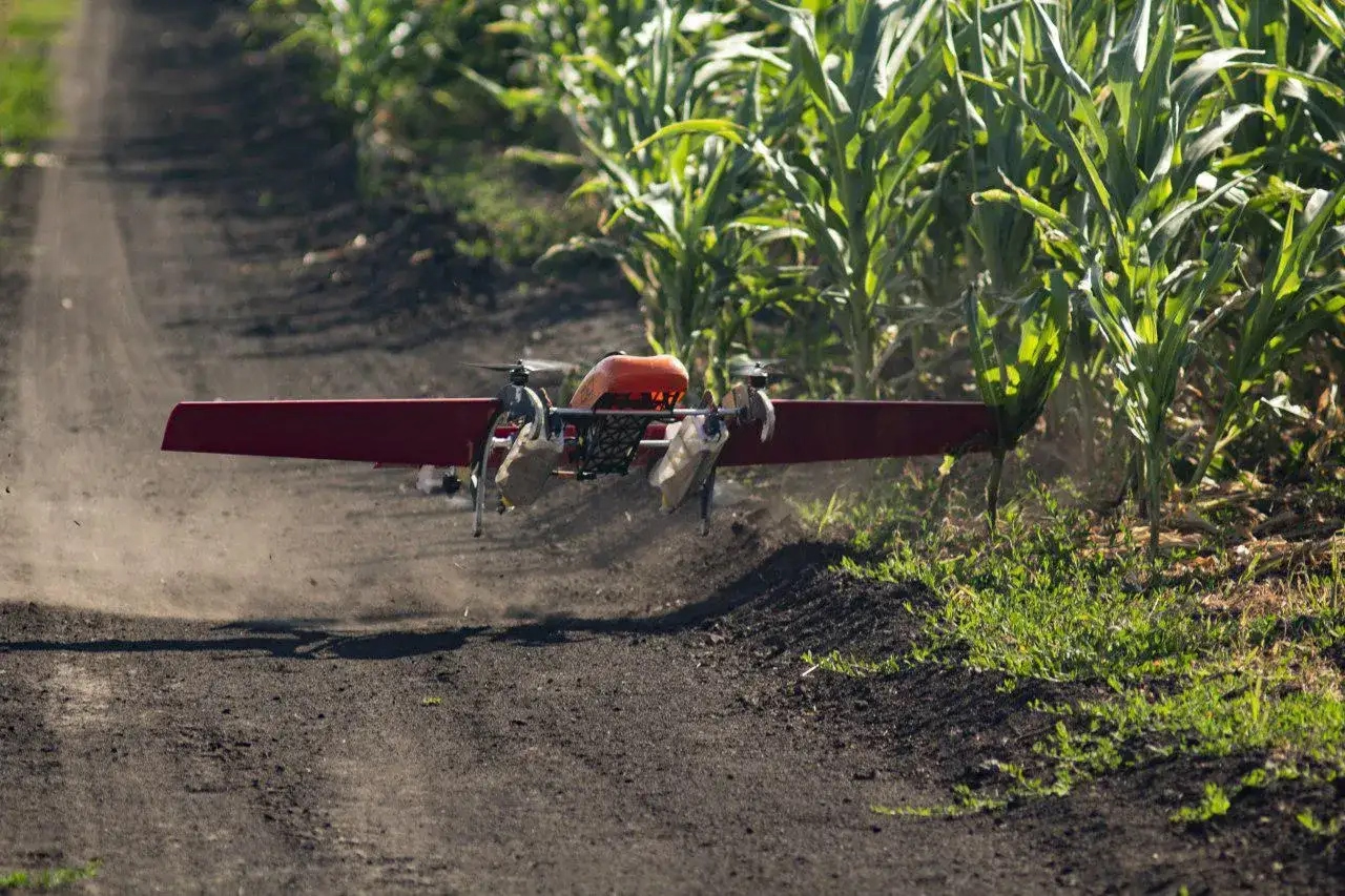
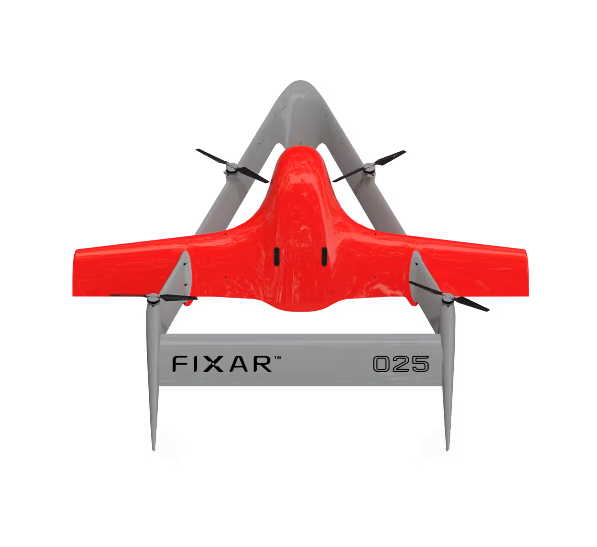
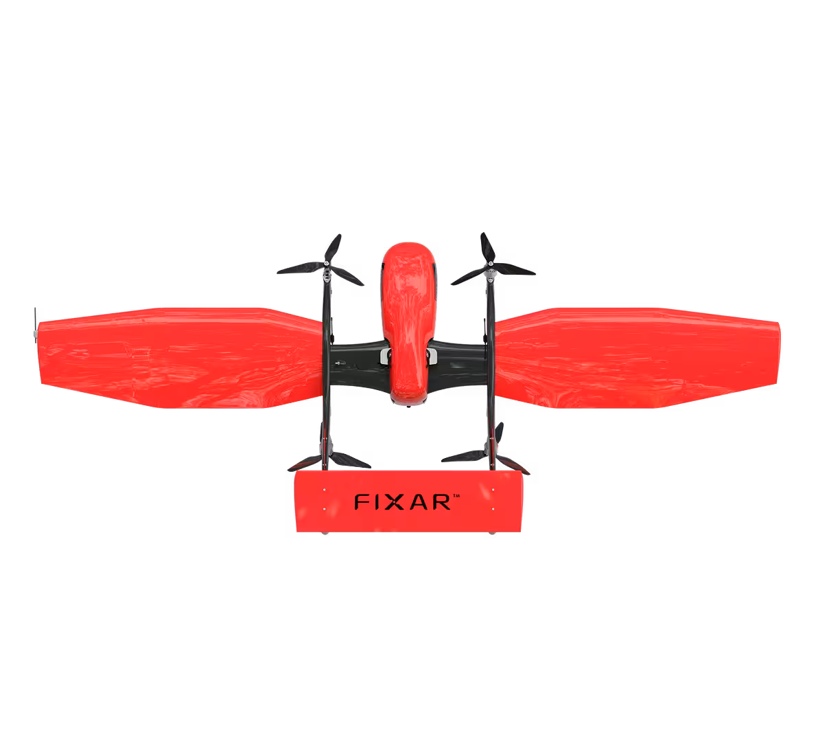
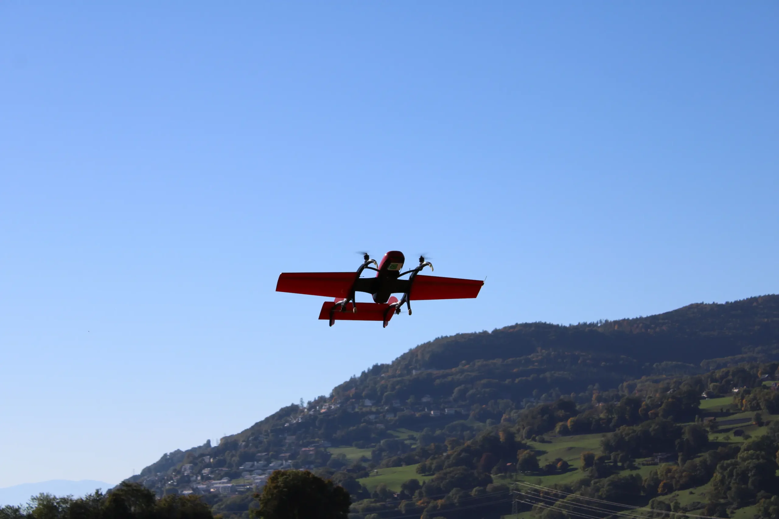
- FIXAR 007 NG UAV aerodynamic design allows vertical takeoff and landing on unprepared sites with accuracy within its own dimensions
- The aircraft is resistant to winds up to 12 m/s
- FIXAR 007 NG has an operational capacity of 59 minutes and covers a distance of 60 km in a single flight, not requiring a catapult for take-off or a parachute for landing as most RPAS type aircraft do
- FIXAR 007 Autopilot system uses security algorithms. If a satellite signal is lost, the aircraft, using the built-in inertial sensor, will continue its flight plan until communication with the satellites is reestablished. If communication with the satellite is not restored within two minutes, the aircraft, as a security measure, will return to the takeoff location using azimuth data. In the event of low battery, the aircraft will perform a soft vertical landing
- The aircraft system operates in a fully autonomous mode from take-off to landing, regardless of radio frequency interference and payload load. Poor radio signal does not influence the operation of the aircraft and will not break or disturb its flight plan
- With no magnetometer sensors onboard, FIXAR 007 NG is fully independent of the magnetic environment and can be operated in the vicinity of reinforced concrete structures, shafts, and mines
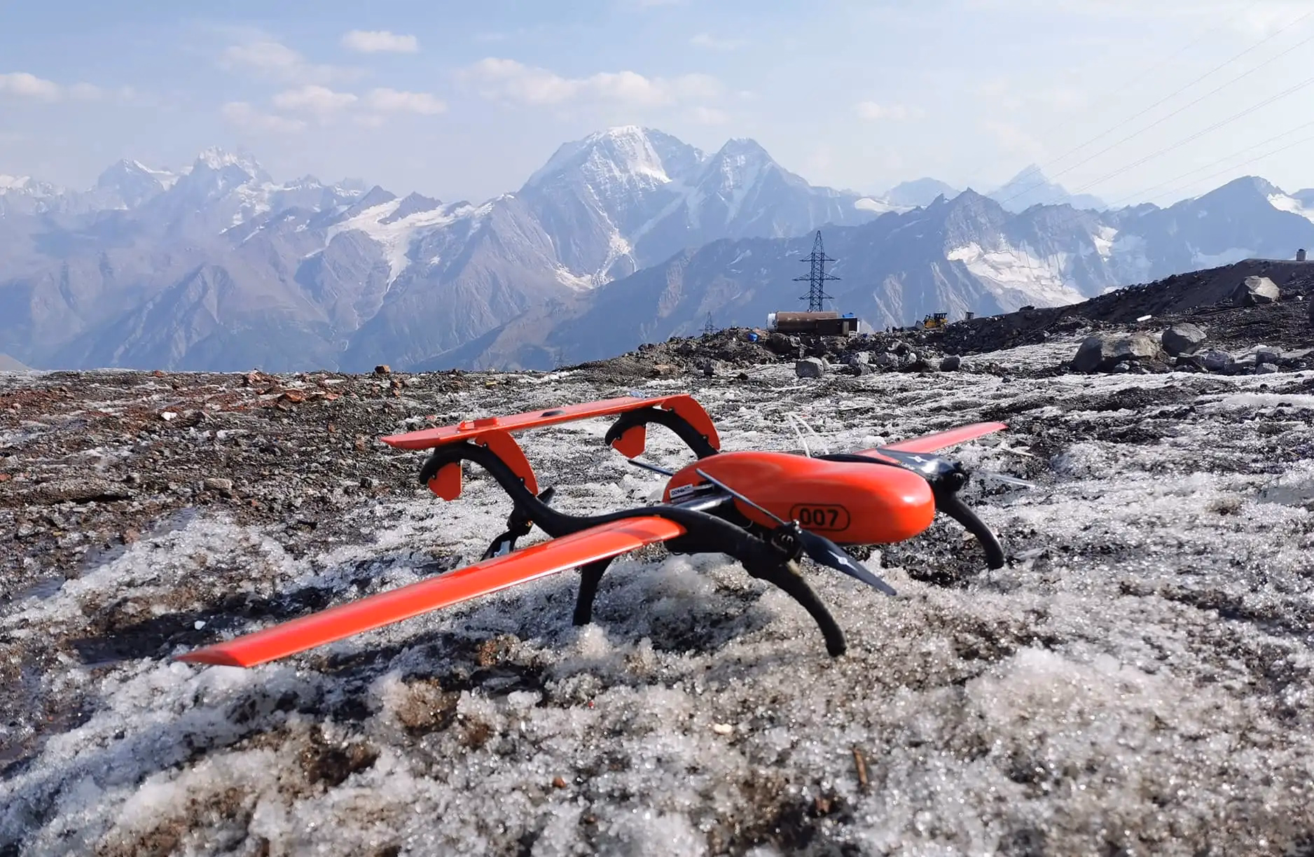
Work progress
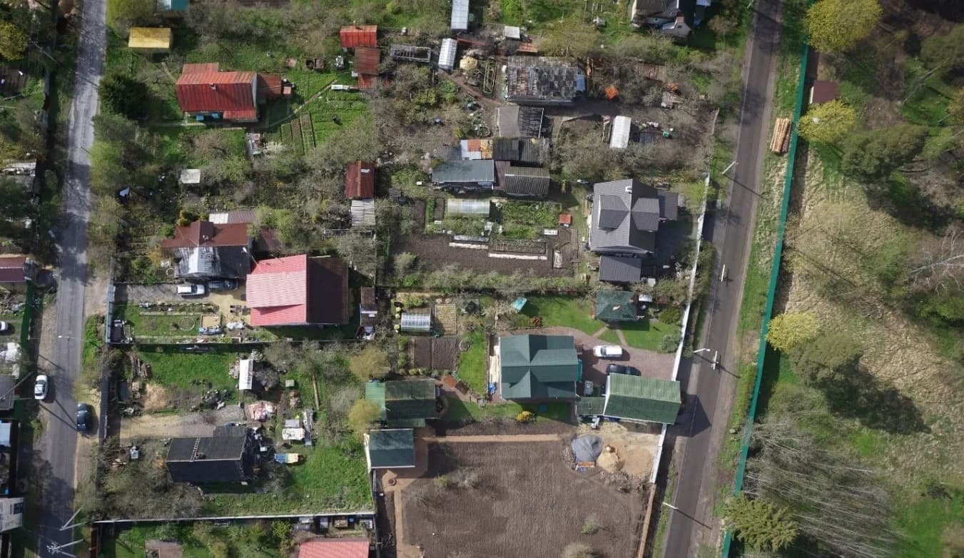
In June 2020, a FIXAR team conducted aerial photography in a cottage settlement over a youth sports and health camp. Vertical takeoff and landing were carried out from the stadium located on the camp grounds. Safety was a top priority and was ensured throughout all flights over the settlement area.
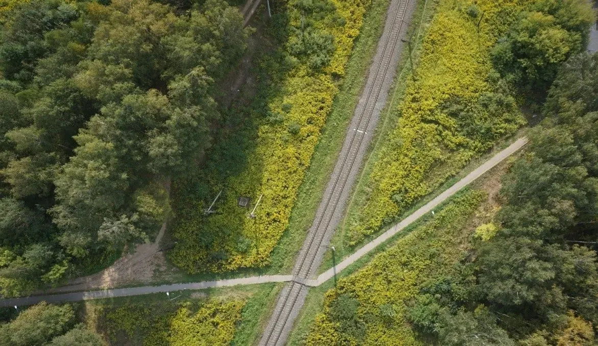
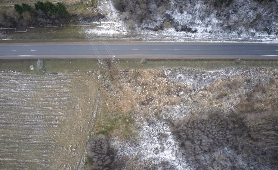
Aerial photography of the terrain, covering a total area of 1,200 hectares, was performed at a resolution of 4 cm/pixel over a total of 6 operational hours, with onboard equipment weighing approximately 1,000 grams.
Result
Thanks to the reliable, stable and safe work performed by the FIXAR 007 NG, the customer received photographic materials of the required quality, which were subsequently used for cadastral work to map and define the boundaries of land plots in the cottage settlement.
Characteristics of the model:
{{map="/custom-tables-elem"}}
.avif)

.avif)