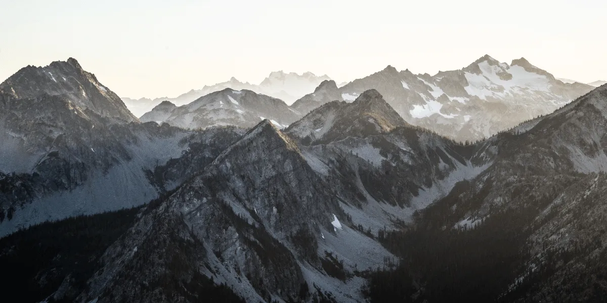
Aerial photography in mountainous terrain is associated with a vast number of specific features and limitations:
- Flights over mountainous regions are unpredictable due to rapid changes in weather and the thin air
- Unspecified or incorrect altitude maps may cause UAV crashes
- Sharp altitude differences require fine-configuration of the flight plan to achieve the required resolution of the images
- Magnetometer sensors malfunctions in zones of magnetic anomalies cause some RPAS types to fall as their flight becomes unpredictable
- Accurate vertical landing is mandatory, as landing with a parachute is most likely to lead to the loss of the aircraft: wind drift, inability to locate the device in mountainous terrain
Solution
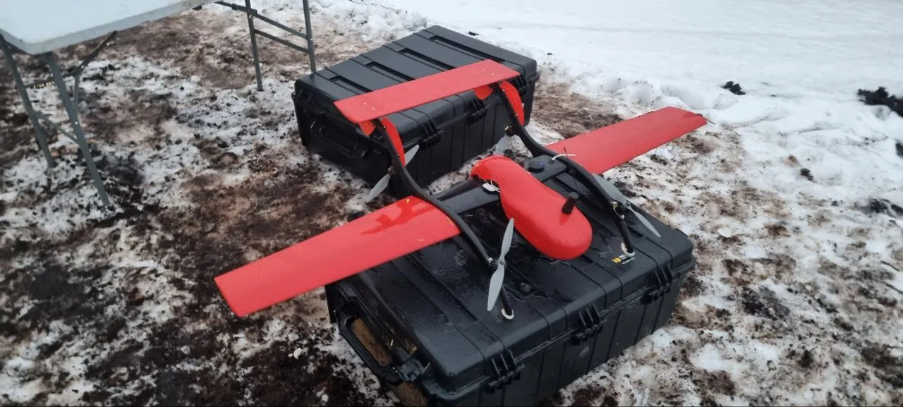
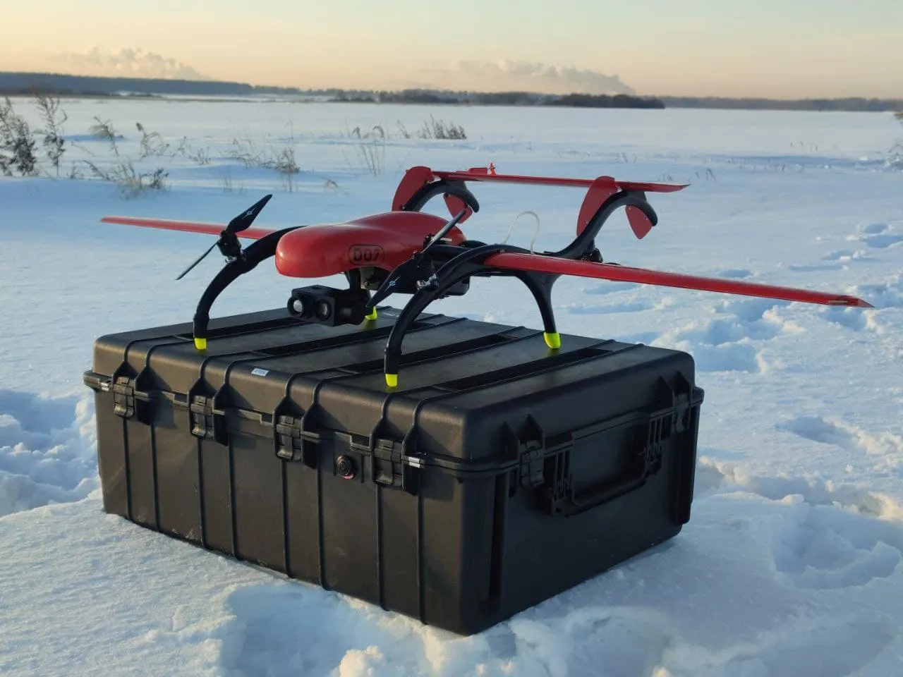
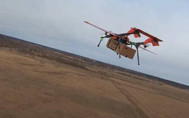
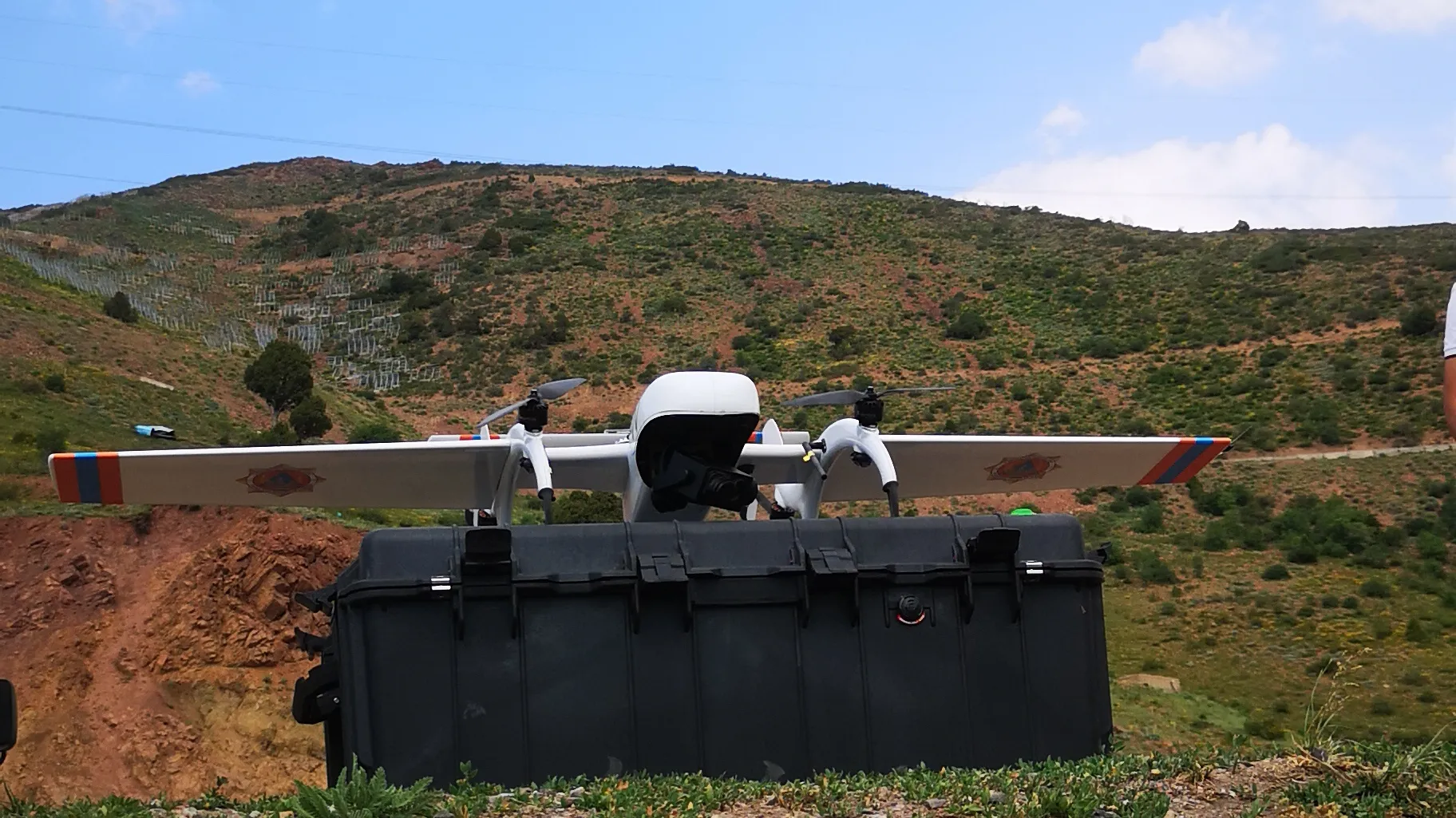
FIXAR™ 007 NG aerial photography package provides the ideal solution:
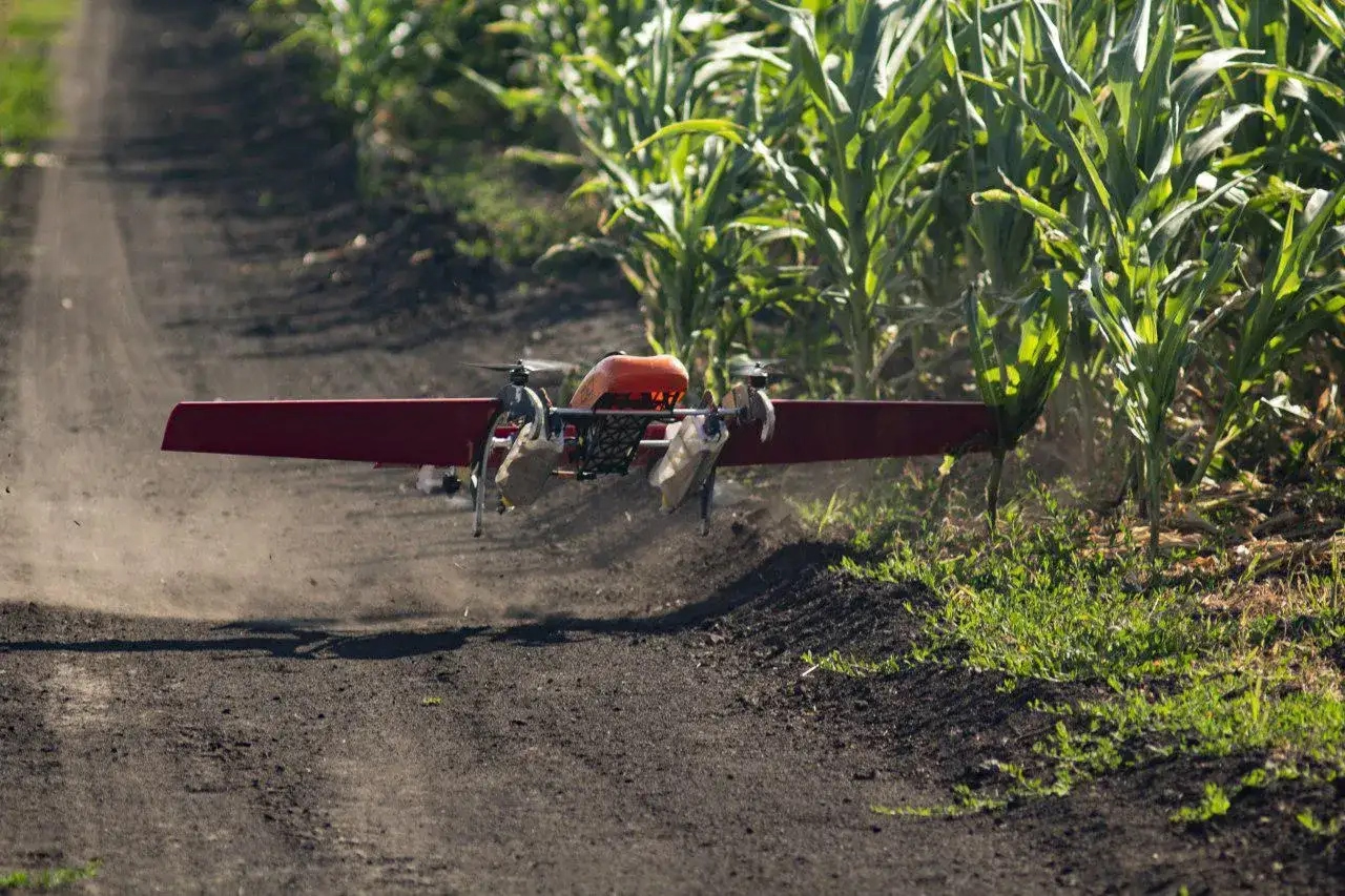
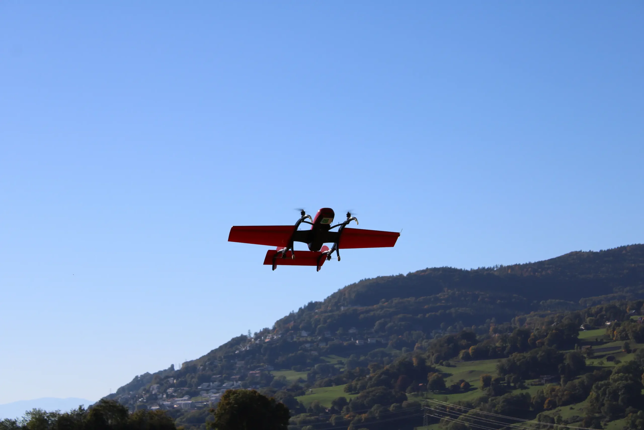
- FIXAR 007 NG aerodynamic design allows vertical takeoff and landing from/to unprepared areas with accuracy within its own dimensions, without the need for a catapult for takeoff or a parachute for landing
- The aircraft is resistant to winds up to 12 m/s
- FIXAR xGroundControl Software allows you to load a specified altitude map and set a flight plan. It also offers the possibility to set a minimum safe altitude. Adherence to the rules stated in the pre-brief for building a flight plan in mountainous terrain ensures safe flights
- FIXAR xGroundControl Software functionality ensures constant navigation altitude and the collection of high-definition images over any terrain throughout the entire flight
- With no magnetometer sensors onboard, FIXAR 007 NG is fully independent of the magnetic environment and can be operated in the vicinity of reinforced concrete structures, shafts, and mines
- The system is fully autonomous from takeoff to landing, and learning to operate it takes no longer than two hours
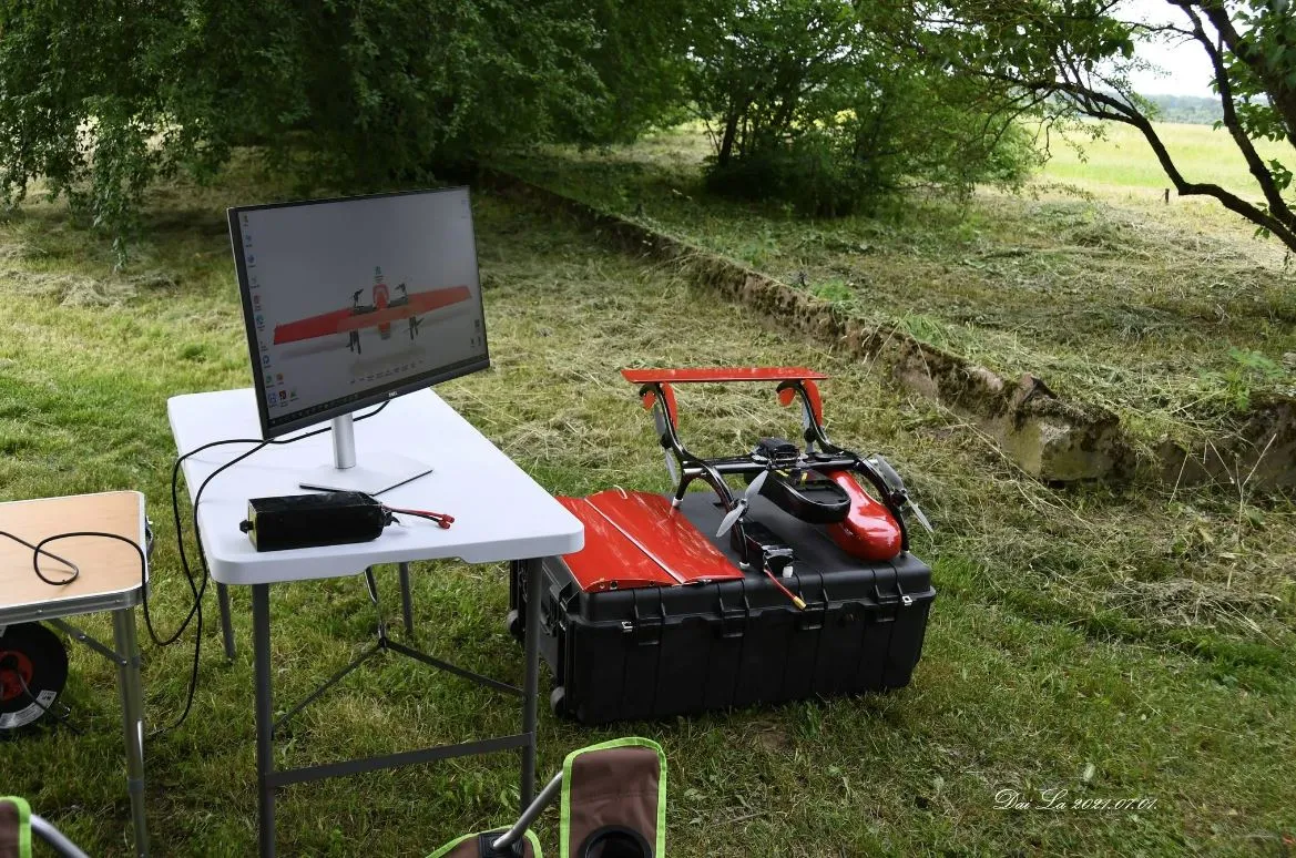
Work progress
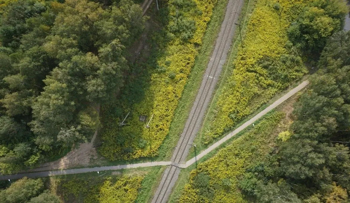
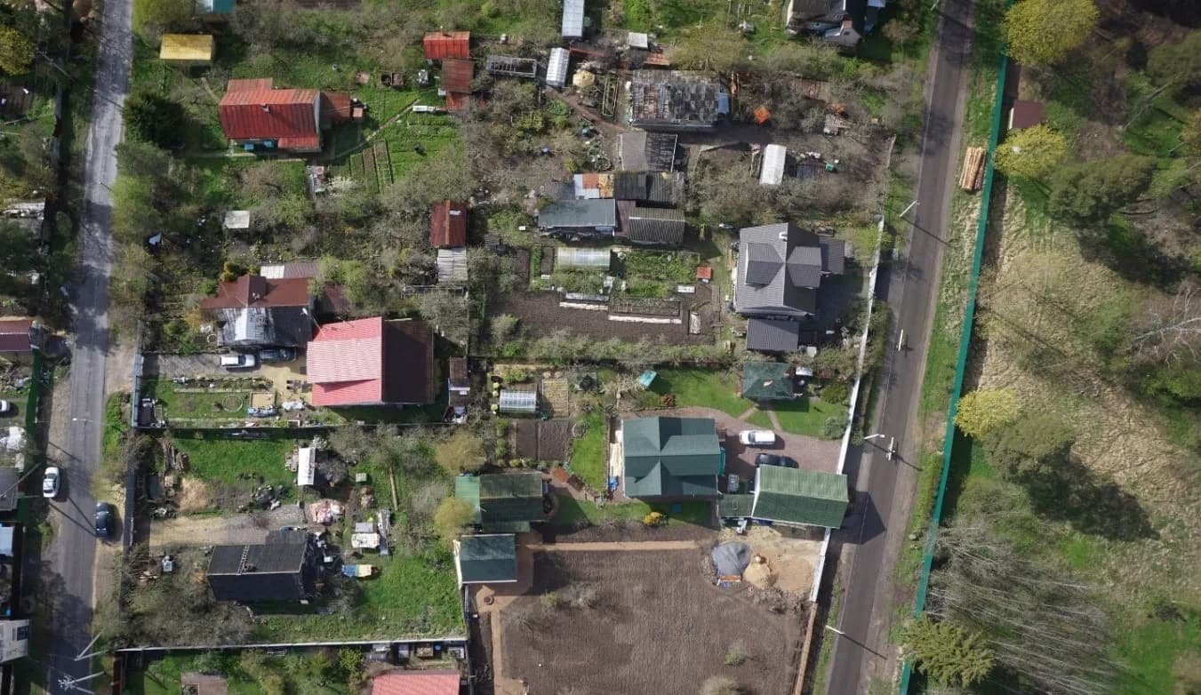
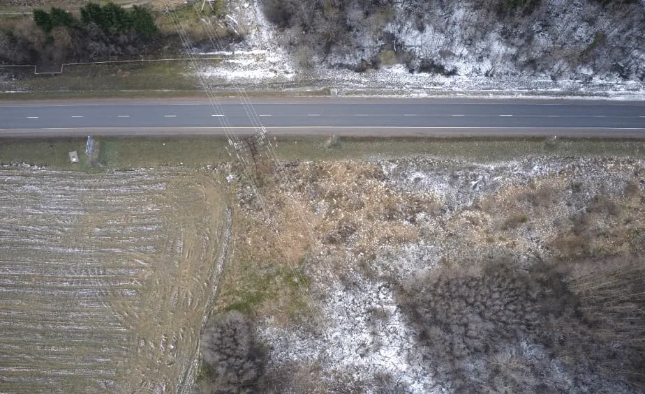
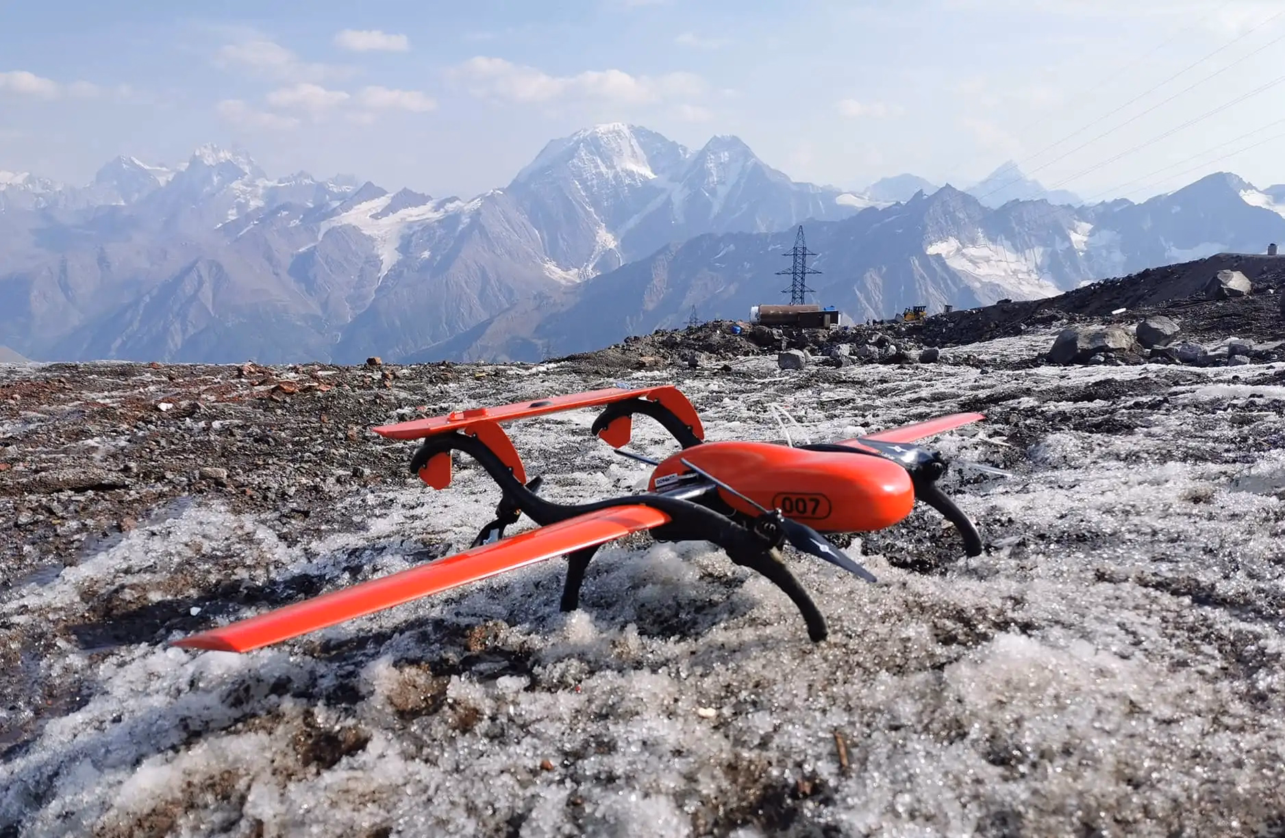
In September 2020, a FIXAR team performed drone aerial photography at an altitude of 4,000 meters during high-altitude mountain flights. The purpose of the project was to create an accurate map using orthophoto as part of geodesic surveys for the construction of a Cable car in mountainous terrain.
Detailed images of the terrain with a total area of 8.2 km2 were made with a resolution of 5 cm/pixel for a total period of 4 hours, operating a FIXAR 007 NG with the onboard equipment weight of 1,000 grams.
Result
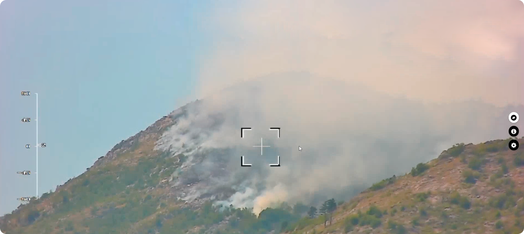
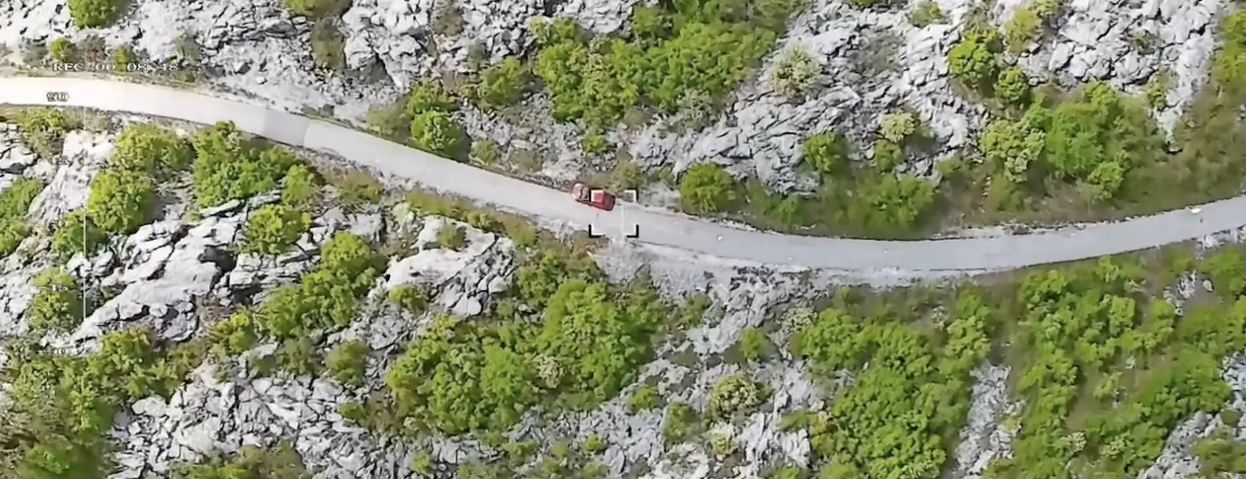
In severe weather conditions in high mountainous terrain, high-quality photo materials were gathered and later used by the customer for the design and construction of the cable car. The achieved results confirmed and were a determining factor of the FIXAR 007 NG system capabilities in the field of aerial photography.
Based on collected aerial images orthophoto mosaic and 3D model were created for further development stages of a construction project.
{{elbrus="/custom-photos-elem"}}
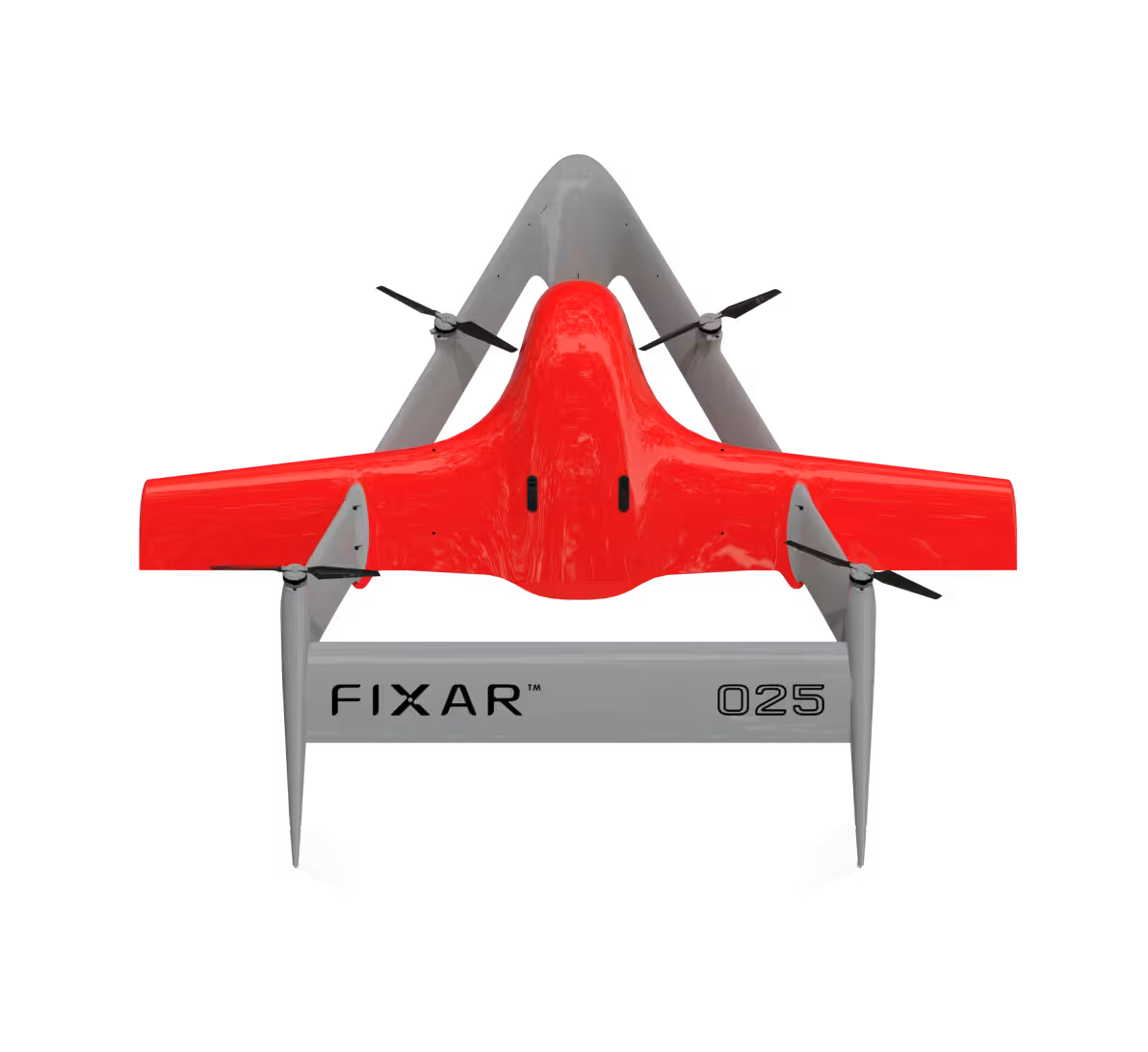
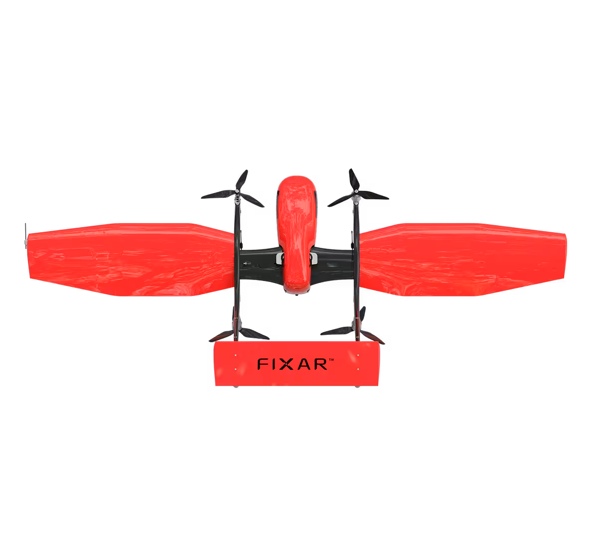
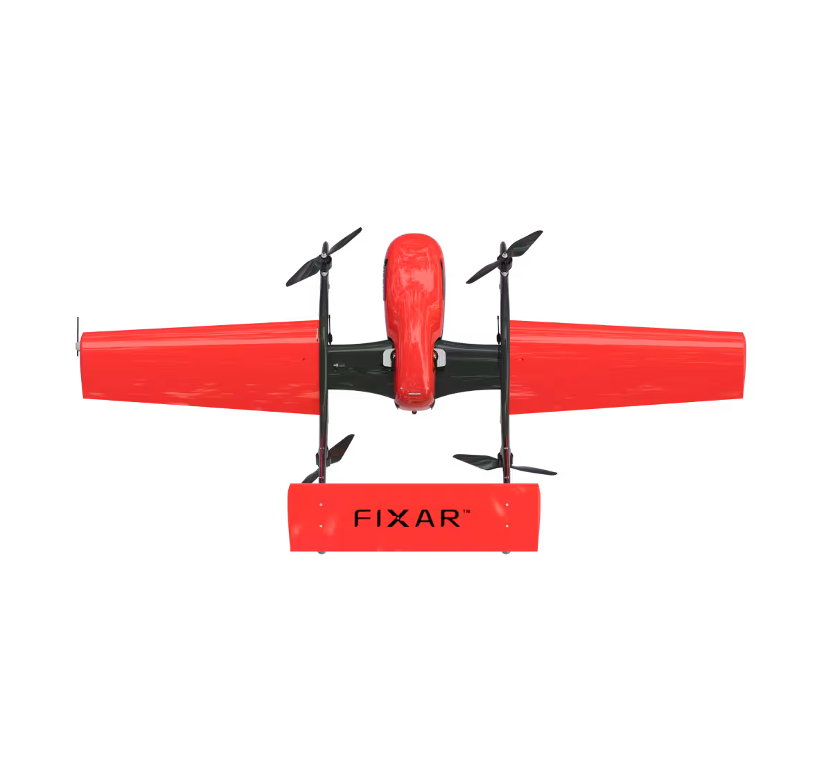
Characteristics of the model:
{{elbrus="/custom-tables-elem"}}
.avif)
.avif)